Ferreira geodata
Ferreira (Andalusia) is a seat of a third-order administrative division; located in Spain in Europe/Madrid (GMT+2) time zone. With population of 336 people, there are 4368 cities with bigger population in this country. Compared to other cities in Spain, 94.3% of cities are located further ↑North; 53.8% of cities are located further ←West and 98.1% of cities have lower elevation than Ferreira. Note1


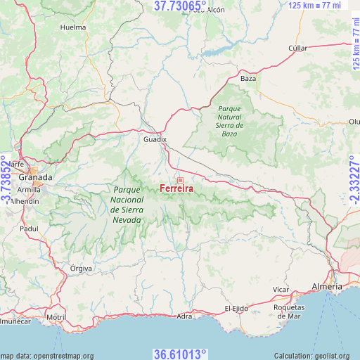
Ferreira GPS coordinates[2]
37° 10' 20.892" North, 3° 2' 7.404" West
| Map corner | latitude | longitude |
|---|---|---|
| Upper-left | 37.73065°, | -3.73852° |
| Center: | 37.17247°, | -3.03539° |
| Lower-right: | 36.61013°, | -2.33227° |
| Map W x H: | 124.6×124.6 km | = 77.4×77.4mi |
| max Lat: | 43.74134° ⇑94.3% North |
| Ferreira: | 37.17247° |
| min Lat: | ⇓5.7% South 27.64134° |
| min Long | Ferreira | max Long |
| -18.00367° | -3.03539° | 4.2899° |
| W 53.8%⇐ | ⇒46.2% E |
Elevation
Elevation of Ferreira is 1260 m = 4134 ft, and this is 662 m = 2172 ft above average elevation for this country.
| Max E: |
1682 m = 5518 ft | 1.9% |
| Ferreira | 1260 m 4134 ft | |
| Avg. | 598 m = 1962 ft | |
Min E: |
0 m = 0 ft | 98.1% |
See also: Spain elevation on elevation.city.
Geographical zone
Ferreira is located in North temperate zone (between Tropic of Cancer and the Arctic Circle). Distance of this Northern Tropic circle is 1527.3 km =949 mi to South.| Distance of | km | miles | from Ferreira |
|---|---|---|---|
| North Pole | 5873.9 | 3649.9 | to North |
| Arctic Circle | 3268 | 2030.6 | to North |
| Tropic Cancer | 1527.3 | 949 | to South |
| Equator | 4133.2 | 2568.3 | to South |


Nearby cities:
15 places around Ferreira: (largest is in red/bold)
• Albuñán
10.6 km =6.6 mi,  305°
305°
• Aldeire
3.5 km =2.2 mi,  247°
247°
• Alquife
7.2 km =4.5 mi,  276°
276°
• Bayárcal
16.1 km =10 mi,  167°
167°
• Beas de Guadix
19.2 km =11.9 mi, 308°
• Cogollos de Guadix
12.6 km =7.8 mi,  297°
297°
• Dólar
4 km =2.5 mi,  78°
78°
• Fiñana
17.3 km =10.7 mi,  90°
90°
• Guadix
16.8 km =10.4 mi,  326°
326°
• Huéneja
7.6 km =4.7 mi, 86°
• Jérez del Marquesado
11.1 km =6.9 mi, 276°
• Lanteira
9.1 km =5.7 mi,  267°
267°
• Lugros
19.3 km =12 mi,  289°
289°
• Paterna del Río
18.2 km =11.3 mi,  156°
156°
• Válor
20 km =12.4 mi,  192°
192°
Sources, notices
• [Note1] Compared only with cities in Spain existing in our database
• [Src1] Map data: © OpenStreetMap contributors (CC-BY-SA)
• [Src2] Other city data from geonames.org with taken over terms of usage.
• [Src3] Geographical zone / Annual Mean Temperature by Robert A. Rohde @ Wikipedia
