Villangómez geodata
Villangómez (Castille and León) is a seat of a third-order administrative division; located in Spain in Europe/Madrid (GMT+2) time zone. With population of 315 people, there are 4440 cities with bigger population in this country. Compared to other cities in Spain, 78.8% of cities are located further ↓South; 56.4% of cities are located further →East and 74.6% of cities have lower elevation than Villangómez. Note1
Administrative division(s):
- Level 1: Castille and León
- Level 2: Provincia de Burgos
- Level 3: Villangómez


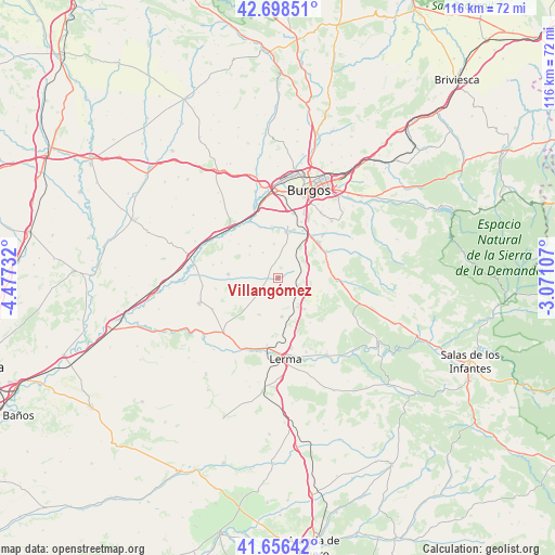
Villangómez GPS coordinates[2]
42° 10' 46.596" North, 3° 46' 27.084" West
| Map corner | latitude | longitude |
|---|---|---|
| Upper-left | 42.69851°, | -4.47732° |
| Center: | 42.17961°, | -3.77419° |
| Lower-right: | 41.65642°, | -3.07107° |
| Map W x H: | 115.9×115.9 km | = 72×72mi |
| max Lat: | 43.74134° ⇑21.2% North |
| Villangómez: | 42.17961° |
| min Lat: | ⇓78.8% South 27.64134° |
| min Long | Villangómez | max Long |
| -18.00367° | -3.77419° | 4.2899° |
| W 43.6%⇐ | ⇒56.4% E |
Elevation
Elevation of Villangómez is 848 m = 2782 ft, and this is 250 m = 820 ft above average elevation for this country.
| Max E: |
1682 m = 5518 ft | 25.4% |
| Villangómez | 848 m 2782 ft | |
| Avg. | 598 m = 1962 ft | |
Min E: |
0 m = 0 ft | 74.6% |
See also: Spain elevation on elevation.city.
Geographical zone
Villangómez is located in North temperate zone (between Tropic of Cancer and the Arctic Circle). Distance of this Northern Tropic circle is 2084 km =1294.9 mi to South.| Distance of | km | miles | from Villangómez |
|---|---|---|---|
| North Pole | 5317.1 | 3303.9 | to North |
| Arctic Circle | 2711.2 | 1684.7 | to North |
| Tropic Cancer | 2084 | 1294.9 | to South |
| Equator | 4689.9 | 2914.2 | to South |


Nearby cities:
15 places around Villangómez: (largest is in red/bold)
• Albillos
10.9 km =6.8 mi,  353°
353°
• Arcos
9.8 km =6.1 mi,  9°
9°
• Cayuela
10.9 km =6.8 mi,  340°
340°
• Cogollos
6.5 km =4 mi,  69°
69°
• Hontoria de la Cantera
10.9 km =6.8 mi,  84°
84°
• Madrigal del Monte
9 km =5.6 mi,  115°
115°
• Madrigalejo del Monte
7.4 km =4.6 mi,  146°
146°
• Presencio
10.5 km =6.5 mi,  274°
274°
• Saldaña de Burgos
10.8 km =6.7 mi,  35°
35°
• Sarracín
11.4 km =7.1 mi, 39°
• Valdorros
5.4 km =3.4 mi,  98°
98°
• Villamayor de los Montes
8.3 km =5.2 mi,  174°
174°
• Villariezo
10.6 km =6.6 mi,  18°
18°
• Villaverde del Monte
3.9 km =2.4 mi,  237°
237°
• Zael
9.3 km =5.8 mi,  207°
207°
Sources, notices
• [Note1] Compared only with cities in Spain existing in our database
• [Src1] Map data: © OpenStreetMap contributors (CC-BY-SA)
• [Src2] Other city data from geonames.org with taken over terms of usage.
• [Src3] Geographical zone / Annual Mean Temperature by Robert A. Rohde @ Wikipedia
