Albillos geodata
Albillos (Castille and León) is a seat of a third-order administrative division; located in Spain in Europe/Madrid (GMT+2) time zone. With population of 212 people, there are 4965 cities with bigger population in this country. Compared to other cities in Spain, 81.3% of cities are located further ↓South; 56.6% of cities are located further →East and 72.6% of cities have lower elevation than Albillos. Note1
Administrative division(s):
- Level 1: Castille and León
- Level 2: Provincia de Burgos
- Level 3: Albillos


Albillos GPS coordinates[2]
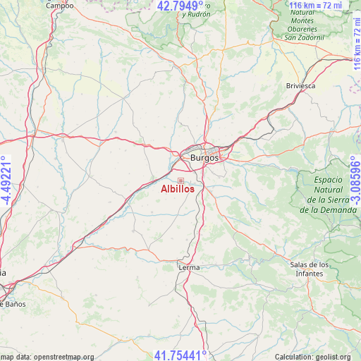
42° 16' 36.48" North, 3° 47' 20.688" West
| Map corner | latitude | longitude |
|---|---|---|
| Upper-left | 42.7949°, | -4.49221° |
| Center: | 42.2768°, | -3.78908° |
| Lower-right: | 41.75441°, | -3.08596° |
| Map W x H: | 115.7×115.7 km | = 71.9×71.9mi |
| max Lat: | 43.74134° ⇑18.7% North |
| Albillos: | 42.2768° |
| min Lat: | ⇓81.3% South 27.64134° |
| min Long | Albillos | max Long |
| -18.00367° | -3.78908° | 4.2899° |
| W 43.4%⇐ | ⇒56.6% E |
Elevation
Elevation of Albillos is 831 m = 2726 ft, and this is 233 m = 764 ft above average elevation for this country.
| Max E: |
1682 m = 5518 ft | 27.4% |
| Albillos | 831 m 2726 ft | |
| Avg. | 598 m = 1962 ft | |
Min E: |
0 m = 0 ft | 72.6% |
See also: Spain elevation on elevation.city.
Geographical zone
Albillos is located in North temperate zone (between Tropic of Cancer and the Arctic Circle). Distance of this Northern Tropic circle is 2094.8 km =1301.6 mi to South.| Distance of | km | miles | from Albillos |
|---|---|---|---|
| North Pole | 5306.3 | 3297.2 | to North |
| Arctic Circle | 2700.4 | 1678 | to North |
| Tropic Cancer | 2094.8 | 1301.6 | to South |
| Equator | 4700.7 | 2920.9 | to South |


Nearby cities:
15 places around Albillos: (largest is in red/bold)
• Arcos
3.1 km =1.9 mi,  111°
111°
• Buniel
4.8 km =3 mi,  325°
325°
• Burgos
10.1 km =6.3 mi,  45°
45°
• Cardeñadijo
10.4 km =6.5 mi,  74°
74°
• Cayuela
2.5 km =1.6 mi,  258°
258°
• Estépar
9.1 km =5.7 mi,  270°
270°
• Frandovínez
5.5 km =3.4 mi,  312°
312°
• Rabé de las Calzadas
8 km =5 mi, 332°
• Saldaña de Burgos
7.8 km =4.8 mi, 105°
• San Mamés de Burgos
6.7 km =4.2 mi,  356°
356°
• Sarracín
8.7 km =5.4 mi,  103°
103°
• Tardajos
8.4 km =5.2 mi,  344°
344°
• Villagonzalo-Pedernales
5.2 km =3.2 mi,  58°
58°
• Villalbilla de Burgos
7.9 km =4.9 mi,  4°
4°
• Villariezo
4.7 km =2.9 mi, 99°
Sources, notices
• [Note1] Compared only with cities in Spain existing in our database
• [Src1] Map data: © OpenStreetMap contributors (CC-BY-SA)
• [Src2] Other city data from geonames.org with taken over terms of usage.
• [Src3] Geographical zone / Annual Mean Temperature by Robert A. Rohde @ Wikipedia
