Pujalt geodata
Pujalt (Catalonia) is a seat of a third-order administrative division; located in Spain in Europe/Madrid (GMT+2) time zone. With population of 197 people, there are 5052 cities with bigger population in this country. Compared to other cities in Spain, 66.5% of cities are located further ↓South; 91.6% of cities are located further ←West and 62.4% of cities have lower elevation than Pujalt. Note1


Pujalt GPS coordinates[2]
41° 43' 1.56" North, 1° 25' 15.168" East
| Map corner | latitude | longitude |
|---|---|---|
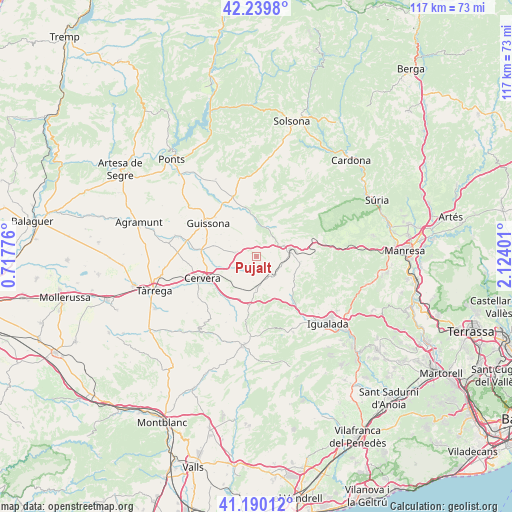
| Upper-left | 42.2398°, | 0.71776° |
| Center: | 41.7171°, | 1.42088° |
| Lower-right: | 41.19012°, | 2.12401° |
| Map W x H: | 116.7×116.7 km | = 72.5×72.5mi |
| max Lat: | 43.74134° ⇑33.5% North |
| Pujalt: | 41.7171° |
| min Lat: | ⇓66.5% South 27.64134° |
| min Long | Pujalt | max Long |
| -18.00367° | 1.42088° | 4.2899° |
| W 91.6%⇐ | ⇒8.4% E |
Elevation
Elevation of Pujalt is 760 m = 2493 ft, and this is 162 m = 531 ft above average elevation for this country.
| Max E: |
1682 m = 5518 ft | 37.6% |
| Pujalt | 760 m 2493 ft | |
| Avg. | 598 m = 1962 ft | |
Min E: |
0 m = 0 ft | 62.4% |
See also: Spain elevation on elevation.city.
Geographical zone
Pujalt is located in North temperate zone (between Tropic of Cancer and the Arctic Circle). Distance of this Northern Tropic circle is 2032.6 km =1263 mi to South.| Distance of | km | miles | from Pujalt |
|---|---|---|---|
| North Pole | 5368.6 | 3335.9 | to North |
| Arctic Circle | 2762.7 | 1716.7 | to North |
| Tropic Cancer | 2032.6 | 1263 | to South |
| Equator | 4638.5 | 2882.2 | to South |


Nearby cities:
15 places around Pujalt: (largest is in red/bold)
• Aguilar de Segarra
17.6 km =10.9 mi,  78°
78°
• Argensola
13.4 km =8.3 mi,  171°
171°
• Bellprat
22.3 km =13.9 mi,  177°
177°
• Calaf
7.9 km =4.9 mi, 77°
• Castellfollit de Riubregós
5.6 km =3.5 mi,  10°
10°
• Cervera
13.4 km =8.3 mi,  247°
247°
• Fonollosa
21.2 km =13.2 mi, 76°
• Igualada
22.3 km =13.9 mi,  132°
132°
• Ivorra
5.8 km =3.6 mi,  342°
342°
• Jorba
16.6 km =10.3 mi,  140°
140°
• Ossó de Sió
22.1 km =13.7 mi,  280°
280°
• Sant Guim de Freixenet
6.8 km =4.2 mi, 180°
• Sant Martí de Tous
20.2 km =12.6 mi,  156°
156°
• Santa Coloma de Queralt
20.7 km =12.9 mi,  188°
188°
• Torà de Riubregós
11.2 km =7 mi,  351°
351°
Sources, notices
• [Note1] Compared only with cities in Spain existing in our database
• [Src1] Map data: © OpenStreetMap contributors (CC-BY-SA)
• [Src2] Other city data from geonames.org with taken over terms of usage.
• [Src3] Geographical zone / Annual Mean Temperature by Robert A. Rohde @ Wikipedia
