Posada de Valdeón geodata
Posada de Valdeón (Castille and León) is a seat of a third-order administrative division; located in Spain in Europe/Madrid (GMT+2) time zone. With population of 503 people, there are 3875 cities with bigger population in this country. Compared to other cities in Spain, 95.9% of cities are located further ↓South; 71.4% of cities are located further →East and 81.8% of cities have lower elevation than Posada de Valdeón. Note1
Administrative division(s):
- Level 1: Castille and León
- Level 2: Provincia de León
- Level 3: Posada de Valdeón


Posada de Valdeón GPS coordinates[2]
43° 9' 5.544" North, 4° 55' 15.672" West
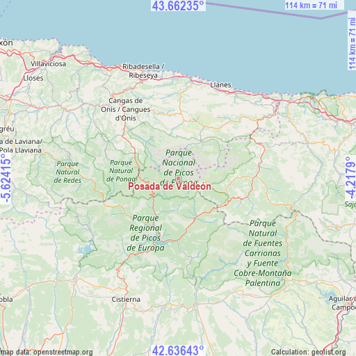
| Map corner | latitude | longitude |
|---|---|---|
| Upper-left | 43.66235°, | -5.62415° |
| Center: | 43.15154°, | -4.92102° |
| Lower-right: | 42.63643°, | -4.2179° |
| Map W x H: | 114.1×114.1 km | = 70.9×70.9mi |
| max Lat: | 43.74134° ⇑4.1% North |
| Posada de Valdeón: | 43.15154° |
| min Lat: | ⇓95.9% South 27.64134° |
| min Long | Posada de Valde | max Long |
| -18.00367° | -4.92102° | 4.2899° |
| W 28.6%⇐ | ⇒71.4% E |
Elevation
Elevation of Posada de Valdeón is 914 m = 2999 ft, and this is 316 m = 1037 ft above average elevation for this country.
| Max E: |
1682 m = 5518 ft | 18.2% |
| Posada de Valdeón | 914 m 2999 ft | |
| Avg. | 598 m = 1962 ft | |
Min E: |
0 m = 0 ft | 81.8% |
See also: Spain elevation on elevation.city.
Geographical zone
Posada de Valdeón is located in North temperate zone (between Tropic of Cancer and the Arctic Circle). Distance of this Northern Tropic circle is 2192.1 km =1362.1 mi to South.| Distance of | km | miles | from Posada de Valdeón |
|---|---|---|---|
| North Pole | 5209.1 | 3236.8 | to North |
| Arctic Circle | 2603.2 | 1617.6 | to North |
| Tropic Cancer | 2192.1 | 1362.1 | to South |
| Equator | 4798 | 2981.3 | to South |


Nearby cities:
15 places around Posada de Valdeón: (largest is in red/bold)
• Acebedo
20.1 km =12.5 mi,  231°
231°
• Amieva
16.1 km =10 mi,  309°
309°
• Boca de Huérgano
19.9 km =12.4 mi,  180°
180°
• Burón
17.6 km =10.9 mi,  216°
216°
• Cabezón de Liébana
28 km =17.4 mi,  93°
93°
• Camaleño
18.4 km =11.4 mi, 90°
• Cangas de Onís
27.9 km =17.3 mi,  322°
322°
• Carreña
19.4 km =12.1 mi,  18°
18°
• Maraña
23.7 km =14.7 mi,  241°
241°
• Onís
21.1 km =13.1 mi,  350°
350°
• Oseja de Sajambre
9.6 km =6 mi,  260°
260°
• Potes
24.4 km =15.2 mi, 89°
• Prioro
28.8 km =17.9 mi,  186°
186°
• Riaño
20.5 km =12.7 mi,  199°
199°
• Tresviso
23.7 km =14.7 mi,  60°
60°
Sources, notices
• [Note1] Compared only with cities in Spain existing in our database
• [Src1] Map data: © OpenStreetMap contributors (CC-BY-SA)
• [Src2] Other city data from geonames.org with taken over terms of usage.
• [Src3] Geographical zone / Annual Mean Temperature by Robert A. Rohde @ Wikipedia
