Haro geodata
Haro (La Rioja) is a seat of a third-order administrative division; located in Spain in Europe/Madrid (GMT+2) time zone. With population of 12,261 people, there are 738 cities with bigger population in this country. Compared to other cities in Spain, 88.9% of cities are located further ↓South; 56.8% of cities are located further ←West and 63.6% of cities have higher elevation than Haro. Note1


Haro GPS coordinates[2]
42° 34' 34.824" North, 2° 50' 51.36" West
| Map corner | latitude | longitude |
|---|---|---|
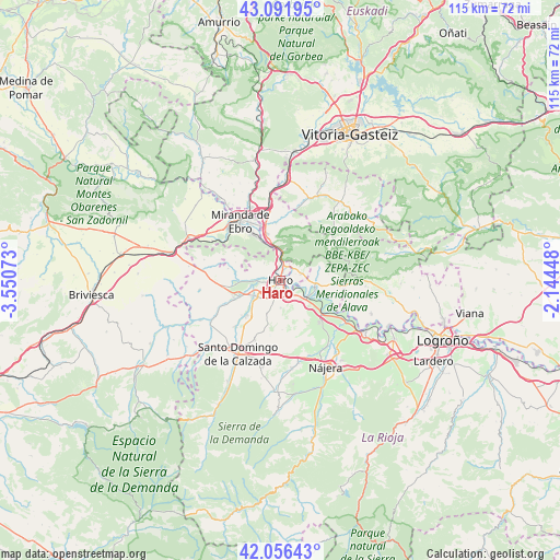
| Upper-left | 43.09195°, | -3.55073° |
| Center: | 42.57634°, | -2.8476° |
| Lower-right: | 42.05643°, | -2.14448° |
| Map W x H: | 115.1×115.1 km | = 71.5×71.5mi |
| max Lat: | 43.74134° ⇑11.1% North |
| Haro: | 42.57634° |
| min Lat: | ⇓88.9% South 27.64134° |
| min Long | Haro | max Long |
| -18.00367° | -2.8476° | 4.2899° |
| W 56.8%⇐ | ⇒43.2% E |
Elevation
Elevation of Haro is 478 m = 1568 ft, and this is 120 m = 394 ft below average elevation for this country.
| Max E: |
1682 m = 5518 ft | 63.6% |
| Avg. | 598 m = 1962 ft | |
| Haro | 478 m = 1568 ft | |
Min E: |
0 m = 0 ft | 36.4% |
See also: Spain elevation on elevation.city.
Geographical zone
Haro is located in North temperate zone (between Tropic of Cancer and the Arctic Circle). Distance of this Northern Tropic circle is 2128.1 km =1322.3 mi to South.| Distance of | km | miles | from Haro |
|---|---|---|---|
| North Pole | 5273 | 3276.5 | to North |
| Arctic Circle | 2667.1 | 1657.3 | to North |
| Tropic Cancer | 2128.1 | 1322.3 | to South |
| Equator | 4734 | 2941.6 | to South |


Nearby cities:
15 places around Haro: (largest is in red/bold)
• Anguciana
4.4 km =2.7 mi,  266°
266°
• Bastida / Labastida
4.5 km =2.8 mi,  70°
70°
• Briones
6.2 km =3.9 mi,  125°
125°
• Briñas
3 km =1.9 mi,  25°
25°
• Casalarreina
5.9 km =3.7 mi,  239°
239°
• Cidamón
9.4 km =5.8 mi,  195°
195°
• Cihuri
6.3 km =3.9 mi,  258°
258°
• Gimileo
3.6 km =2.2 mi,  144°
144°
• Ollauri
3.9 km =2.4 mi,  164°
164°
• Rodezno
5.6 km =3.5 mi,  178°
178°
• Sajazarra
9.4 km =5.8 mi,  278°
278°
• San Vicente de la Sonsierra
7.3 km =4.5 mi,  101°
101°
• Tirgo
9 km =5.6 mi,  247°
247°
• Villalba de Rioja
4.9 km =3 mi,  319°
319°
• Zarratón
7.2 km =4.5 mi, 202°
Sources, notices
• [Note1] Compared only with cities in Spain existing in our database
• [Src1] Map data: © OpenStreetMap contributors (CC-BY-SA)
• [Src2] Other city data from geonames.org with taken over terms of usage.
• [Src3] Geographical zone / Annual Mean Temperature by Robert A. Rohde @ Wikipedia
