Palikir - National Government Center geodata
Palikir - National Government Center (Pohnpei) is a capital of a political entity; located in Micronesia in Pacific/Pohnpei (GMT+11) time zone. In our database, there are 19 cities with bigger population. Compared to other cities in Micronesia, 53.3% of cities are located further ↑North; 83.3% of cities are located further ←West and 100% of cities have lower elevation than Palikir - National Government Center. Note1
Current local time in Palikir - National Government Center:
12:40 AM, FridayDifference from your time zone: hours


Palikir - National Government Center GPS coordinates[2]
6° 55' 29.172" North, 158° 9' 39.924" East
| Map corner | latitude | longitude |
|---|---|---|
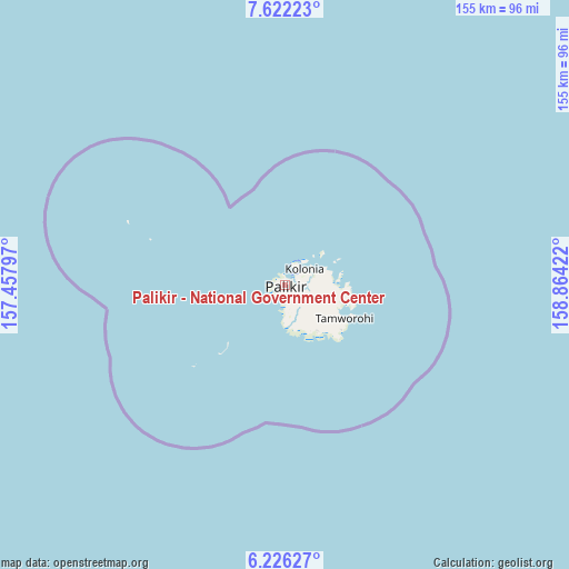
| Upper-left | 7.62223°, | 157.45797° |
| Center: | 6.92477°, | 158.16109° |
| Lower-right: | 6.22627°, | 158.86422° |
| Map W x H: | 155.2×155.2 km | = 96.4×96.4mi |
| max Lat: | 9.766° ⇑53.3% North |
| Palikir - National Government Center: | 6.92477° |
| min Lat: | ⇓46.7% South 1.07861° |
| min Long | Palikir - Natio | max Long |
| 137.484° | 158.16109° | 163.02609° |
| W 83.3%⇐ | ⇒16.7% E |
Elevation
Elevation of Palikir - National Government Center is 92 m = 302 ft, and this is 77.2 m = 253 ft above average elevation for this country.
| Max E: |
92 m = 302 ft | 0% |
| Palikir - National Government Center | 92 m 302 ft | |
| Avg. | 14.8 m = 49 ft | |
Min E: |
1 m = 3 ft | 100% |
See also: Micronesia elevation on elevation.city.
Geographical zone
Palikir - National Government Center is located in North Torrid zone (between Equator and Tropic of Cancer). Distance of Equator is 770 km =478.5 mi to South.| Distance of | km | miles | from Palikir - National Government Center |
|---|---|---|---|
| North Pole | 9237.1 | 5739.7 | to North |
| Arctic Circle | 6631.2 | 4120.4 | to North |
| Tropic Cancer | 1836 | 1140.8 | to North |
| Equator | 770 | 478.5 | to South |


Nearby cities:
6 places around Palikir - National Government Center: (largest is in red/bold)
• Kolonia
6.6 km =4.1 mi,  48°
48°
• Kolonia Town
6.6 km =4.1 mi, 48°
• Madolenihm Municipality Government
18.2 km =11.3 mi,  123°
123°
• Mokil
178.7 km =111 mi,  98°
98°
• Ngatik
168 km =104.4 mi,  221°
221°
• Pingelap
292 km =181.4 mi,  105°
105°
In other languages:
- In Spanish: Palikir
- In France: Palikir
- In German: Palikir
- In Italian: Palikir
- In Russian: Паликир
- In Chinese: 帕利基尔
Sources, notices
• [Note1] Compared only with cities in Micronesia existing in our database
• [Src1] Map data: © OpenStreetMap contributors (CC-BY-SA)
• [Src2] Other city data from geonames.org with taken over terms of usage.
• [Src3] Geographical zone / Annual Mean Temperature by Robert A. Rohde @ Wikipedia
