Madolenihm Municipality Government geodata
Madolenihm Municipality Government (Pohnpei) is a seat of a second-order administrative division; located in Micronesia in Pacific/Pohnpei (GMT+11) time zone. In our database, there are 19 cities with bigger population. Compared to other cities in Micronesia, 56.7% of cities are located further ↑North; 88.3% of cities are located further ←West and 98.3% of cities have lower elevation than Madolenihm Municipality Government. Note1
Current local time in Madolenihm Municipality Government:
03:23 AM, MondayDifference from your time zone: hours


Madolenihm Municipality Government GPS coordinates[2]
6° 50' 5.748" North, 158° 17' 55.32" East
| Map corner | latitude | longitude |
|---|---|---|
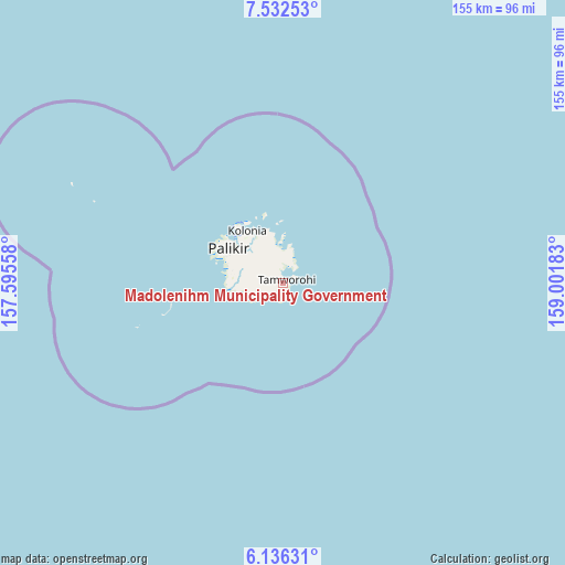
| Upper-left | 7.53253°, | 157.59558° |
| Center: | 6.83493°, | 158.2987° |
| Lower-right: | 6.13631°, | 159.00183° |
| Map W x H: | 155.2×155.2 km | = 96.4×96.4mi |
| max Lat: | 9.766° ⇑56.7% North |
| Madolenihm Municipality Government: | 6.83493° |
| min Lat: | ⇓43.3% South 1.07861° |
| min Long | Madolenihm Muni | max Long |
| 137.484° | 158.2987° | 163.02609° |
| W 88.3%⇐ | ⇒11.7% E |
Elevation
Elevation of Madolenihm Municipality Government is 82 m = 269 ft, and this is 67.2 m = 220 ft above average elevation for this country.
| Max E: |
92 m = 302 ft | 1.7% |
| Madolenihm Municipality Government | 82 m 269 ft | |
| Avg. | 14.8 m = 49 ft | |
Min E: |
1 m = 3 ft | 98.3% |
See also: Micronesia elevation on elevation.city.
Geographical zone
Madolenihm Municipality Government is located in North Torrid zone (between Equator and Tropic of Cancer). Distance of Equator is 760 km =472.2 mi to South.| Distance of | km | miles | from Madolenihm Municipality Government |
|---|---|---|---|
| North Pole | 9247.1 | 5745.9 | to North |
| Arctic Circle | 6641.2 | 4126.6 | to North |
| Tropic Cancer | 1845.9 | 1147 | to North |
| Equator | 760 | 472.2 | to South |


Nearby cities:
6 places around Madolenihm Municipality Government: (largest is in red/bold)
• Kolonia
17.6 km =10.9 mi,  324°
324°
• Kolonia Town
17.6 km =10.9 mi, 324°
• Mokil
162.4 km =100.9 mi,  95°
95°
• Ngatik
171.4 km =106.5 mi,  227°
227°
• Palikir - National Government Center
18.2 km =11.3 mi,  303°
303°
• Pingelap
274.7 km =170.7 mi, 104°
Sources, notices
• [Note1] Compared only with cities in Micronesia existing in our database
• [Src1] Map data: © OpenStreetMap contributors (CC-BY-SA)
• [Src2] Other city data from geonames.org with taken over terms of usage.
• [Src3] Geographical zone / Annual Mean Temperature by Robert A. Rohde @ Wikipedia
