Travecy geodata
Travecy (Hauts-de-France) is a populated place; located in France in Europe/Paris (GMT+2) time zone. With population of 650 people, there are 12520 cities with bigger population in this country. Compared to other cities in France, 91.4% of cities are located further ↓South; 62.7% of cities are located further ←West and 73.6% of cities have higher elevation than Travecy. Note1
Administrative division(s):
- Level 1: Hauts-de-France
- Level 2: Département de l'Aisne
- Level 3: Arrondissement de Laon
- Level 4: Travecy


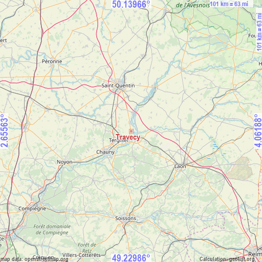
Travecy GPS coordinates[2]
49° 41' 12.804" North, 3° 21' 31.536" East
| Map corner | latitude | longitude |
|---|---|---|
| Upper-left | 50.13966°, | 2.65563° |
| Center: | 49.68689°, | 3.35876° |
| Lower-right: | 49.22986°, | 4.06188° |
| Map W x H: | 101.2×101.2 km | = 62.9×62.9mi |
| max Lat: | 51.07786° ⇑8.6% North |
| Travecy: | 49.68689° |
| min Lat: | ⇓91.4% South 41.3874° |
| min Long | Travecy | max Long |
| -5.08615° | 3.35876° | 9.52242° |
| W 62.7%⇐ | ⇒37.3% E |
Elevation
Elevation of Travecy is 70 m = 230 ft, and this is 123.7 m = 406 ft below average elevation for this country.
| Max E: |
2333 m = 7654 ft | 73.6% |
| Avg. | 193.7 m = 635 ft | |
| Travecy | 70 m = 230 ft | |
Min E: |
-1 m = -3 ft | 26.4% |
See also: France elevation on elevation.city.
Geographical zone
Travecy is located in North temperate zone (between Tropic of Cancer and the Arctic Circle). Distance of this North polar circle is 1876.5 km =1166 mi to North.| Distance of | km | miles | from Travecy |
|---|---|---|---|
| North Pole | 4482.4 | 2785.2 | to North |
| Arctic Circle | 1876.5 | 1166 | to North |
| Tropic Cancer | 2918.7 | 1813.6 | to South |
| Equator | 5524.7 | 3432.9 | to South |


Nearby cities:
15 places around Travecy: (largest is in red/bold)
• Achery
2.4 km =1.5 mi,  71°
71°
• Amigny-Rouy
9.4 km =5.8 mi,  204°
204°
• Beautor
4 km =2.5 mi,  194°
194°
• Bertaucourt-Epourdon
8 km =5 mi,  167°
167°
• Charmes
4 km =2.5 mi,  159°
159°
• Condren
8.5 km =5.3 mi,  221°
221°
• Danizy
3.4 km =2.1 mi,  134°
134°
• Frières-Faillouël
8.3 km =5.2 mi,  270°
270°
• Jussy
9.8 km =6.1 mi,  292°
292°
• La Fère
2.7 km =1.7 mi, 168°
• Montescourt-Lizerolles
9.3 km =5.8 mi,  308°
308°
• Nouvion-et-Catillon
9.2 km =5.7 mi,  79°
79°
• Saint-Gobain
10.2 km =6.3 mi, 172°
• Tergnier
5.4 km =3.4 mi,  230°
230°
• Vendeuil
3.2 km =2 mi,  351°
351°
Sources, notices
• [Note1] Compared only with cities in France existing in our database
• [Src1] Map data: © OpenStreetMap contributors (CC-BY-SA)
• [Src2] Other city data from geonames.org with taken over terms of usage.
• [Src3] Geographical zone / Annual Mean Temperature by Robert A. Rohde @ Wikipedia
