Senantes geodata
Senantes (Centre) is a populated place; located in France in Europe/Paris (GMT+2) time zone. With population of 541 people, there are 14367 cities with bigger population in this country. Compared to other cities in France, 72.4% of cities are located further ↓South; 62.1% of cities are located further →East and 50.1% of cities have lower elevation than Senantes. Note1
Administrative division(s):
- Level 1: Centre
- Level 2: Département d'Eure-et-Loir
- Level 3: Arrondissement de Dreux
- Level 4: Senantes


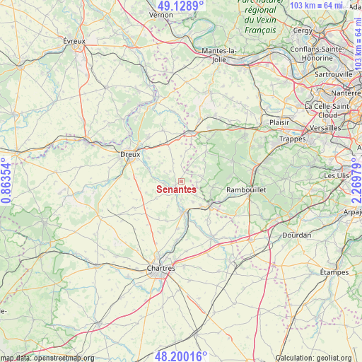
Senantes GPS coordinates[2]
48° 40' 0.012" North, 1° 34' 0.012" East
| Map corner | latitude | longitude |
|---|---|---|
| Upper-left | 49.1289°, | 0.86354° |
| Center: | 48.66667°, | 1.56667° |
| Lower-right: | 48.20016°, | 2.26979° |
| Map W x H: | 103.3×103.3 km | = 64.2×64.2mi |
| max Lat: | 51.07786° ⇑27.6% North |
| Senantes: | 48.66667° |
| min Lat: | ⇓72.4% South 41.3874° |
| min Long | Senantes | max Long |
| -5.08615° | 1.56667° | 9.52242° |
| W 37.9%⇐ | ⇒62.1% E |
Elevation
Elevation of Senantes is 132 m = 433 ft, and this is 61.7 m = 202 ft below average elevation for this country.
| Max E: |
2333 m = 7654 ft | 49.9% |
| Avg. | 193.7 m = 635 ft | |
| Senantes | 132 m = 433 ft | |
Min E: |
-1 m = -3 ft | 50.1% |
See also: France elevation on elevation.city.
Geographical zone
Senantes is located in North temperate zone (between Tropic of Cancer and the Arctic Circle). Distance of this North polar circle is 1989.9 km =1236.5 mi to North.| Distance of | km | miles | from Senantes |
|---|---|---|---|
| North Pole | 4595.8 | 2855.7 | to North |
| Arctic Circle | 1989.9 | 1236.5 | to North |
| Tropic Cancer | 2805.3 | 1743.1 | to South |
| Equator | 5411.2 | 3362.4 | to South |


Nearby cities:
15 places around Senantes: (largest is in red/bold)
• Adainville
8.9 km =5.5 mi,  45°
45°
• Broué
9.7 km =6 mi,  340°
340°
• Chaudon
5.2 km =3.2 mi,  265°
265°
• Coulombs
2.2 km =1.4 mi,  223°
223°
• Hanches
9.6 km =6 mi,  139°
139°
• La Boissière-École
6.4 km =4 mi,  76°
76°
• Lormaye
3.1 km =1.9 mi,  231°
231°
• Maintenon
8.9 km =5.5 mi,  174°
174°
• Mittainville
5.9 km =3.7 mi,  85°
85°
• Nogent-le-Roi
3.4 km =2.1 mi, 232°
• Ouerre
8.3 km =5.2 mi,  296°
296°
• Pierres
8.3 km =5.2 mi,  181°
181°
• Saint-Martin-de-Nigelles
6.8 km =4.2 mi,  152°
152°
• Villemeux-sur-Eure
7.5 km =4.7 mi,  275°
275°
• Villiers-le-Morhier
5.2 km =3.2 mi, 182°
Sources, notices
• [Note1] Compared only with cities in France existing in our database
• [Src1] Map data: © OpenStreetMap contributors (CC-BY-SA)
• [Src2] Other city data from geonames.org with taken over terms of usage.
• [Src3] Geographical zone / Annual Mean Temperature by Robert A. Rohde @ Wikipedia
