Murianette geodata
Murianette (Auvergne-Rhône-Alpes) is a populated place; located in France in Europe/Paris (GMT+2) time zone. With population of 715 people, there are 11591 cities with bigger population in this country. Compared to other cities in France, 77.5% of cities are located further ↑North; 85.3% of cities are located further ←West and 92.5% of cities have lower elevation than Murianette. Note1
Administrative division(s):
- Level 1: Auvergne-Rhône-Alpes
- Level 2: Département de l'Isère
- Level 3: Arrondissement de Grenoble
- Level 4: Murianette


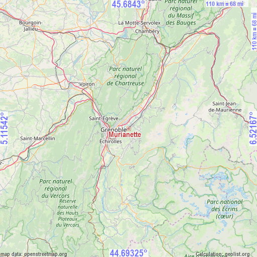
Murianette GPS coordinates[2]
45° 11' 27.348" North, 5° 49' 6.78" East
| Map corner | latitude | longitude |
|---|---|---|
| Upper-left | 45.6843°, | 5.11542° |
| Center: | 45.19093°, | 5.81855° |
| Lower-right: | 44.69325°, | 6.52167° |
| Map W x H: | 110.2×110.2 km | = 68.5×68.5mi |
| max Lat: | 51.07786° ⇑77.5% North |
| Murianette: | 45.19093° |
| min Lat: | ⇓22.5% South 41.3874° |
| min Long | Murianette | max Long |
| -5.08615° | 5.81855° | 9.52242° |
| W 85.3%⇐ | ⇒14.7% E |
Elevation
Elevation of Murianette is 488 m = 1601 ft, and this is 294.3 m = 966 ft above average elevation for this country.
| Max E: |
2333 m = 7654 ft | 7.5% |
| Murianette | 488 m 1601 ft | |
| Avg. | 193.7 m = 635 ft | |
Min E: |
-1 m = -3 ft | 92.5% |
See also: France elevation on elevation.city.
Geographical zone
Murianette is located in North temperate zone (between Tropic of Cancer and the Arctic Circle). Distance of this North polar circle is 2376.4 km =1476.6 mi to North.| Distance of | km | miles | from Murianette |
|---|---|---|---|
| North Pole | 4982.3 | 3095.9 | to North |
| Arctic Circle | 2376.4 | 1476.6 | to North |
| Tropic Cancer | 2418.8 | 1503 | to South |
| Equator | 5024.8 | 3122.3 | to South |


Nearby cities:
15 places around Murianette: (largest is in red/bold)
• Biviers
4.9 km =3 mi,  342°
342°
• Corenc
5.2 km =3.2 mi,  306°
306°
• Domène
1.8 km =1.1 mi,  41°
41°
• Gières
2.6 km =1.6 mi,  241°
241°
• Herbeys
6 km =3.7 mi,  199°
199°
• La Tronche
5.9 km =3.7 mi,  285°
285°
• Le Versoud
4.9 km =3 mi,  48°
48°
• Meylan
3.8 km =2.4 mi,  303°
303°
• Montbonnot-Saint-Martin
4.1 km =2.5 mi, 340°
• Poisat
5.8 km =3.6 mi,  231°
231°
• Revel
4.2 km =2.6 mi,  97°
97°
• Saint-Ismier
6.9 km =4.3 mi,  7°
7°
• Saint-Martin-d’Hères
4.6 km =2.9 mi,  252°
252°
• Saint-Nazaire-les-Eymes
7 km =4.3 mi,  22°
22°
• Venon
1.8 km =1.1 mi,  206°
206°
Sources, notices
• [Note1] Compared only with cities in France existing in our database
• [Src1] Map data: © OpenStreetMap contributors (CC-BY-SA)
• [Src2] Other city data from geonames.org with taken over terms of usage.
• [Src3] Geographical zone / Annual Mean Temperature by Robert A. Rohde @ Wikipedia
