Poisat geodata
Poisat (Auvergne-Rhône-Alpes) is a populated place; located in France in Europe/Paris (GMT+2) time zone. With population of 2,066 people, there are 4649 cities with bigger population in this country. Compared to other cities in France, 77.9% of cities are located further ↑North; 84.8% of cities are located further ←West and 79.1% of cities have lower elevation than Poisat. Note1
Administrative division(s):
- Level 1: Auvergne-Rhône-Alpes
- Level 2: Département de l'Isère
- Level 3: Arrondissement de Grenoble
- Level 4: Poisat


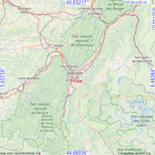
Poisat GPS coordinates[2]
45° 9' 30.672" North, 5° 45' 37.836" East
| Map corner | latitude | longitude |
|---|---|---|
| Upper-left | 45.65217°, | 5.05739° |
| Center: | 45.15852°, | 5.76051° |
| Lower-right: | 44.66056°, | 6.46364° |
| Map W x H: | 110.3×110.3 km | = 68.5×68.5mi |
| max Lat: | 51.07786° ⇑77.9% North |
| Poisat: | 45.15852° |
| min Lat: | ⇓22.1% South 41.3874° |
| min Long | Poisat | max Long |
| -5.08615° | 5.76051° | 9.52242° |
| W 84.8%⇐ | ⇒15.2% E |
Elevation
Elevation of Poisat is 281 m = 922 ft, and this is 87.3 m = 286 ft above average elevation for this country.
| Max E: |
2333 m = 7654 ft | 20.9% |
| Poisat | 281 m 922 ft | |
| Avg. | 193.7 m = 635 ft | |
Min E: |
-1 m = -3 ft | 79.1% |
See also: France elevation on elevation.city.
Geographical zone
Poisat is located in North temperate zone (between Tropic of Cancer and the Arctic Circle). Distance of this North polar circle is 2380 km =1478.9 mi to North.| Distance of | km | miles | from Poisat |
|---|---|---|---|
| North Pole | 4985.9 | 3098.1 | to North |
| Arctic Circle | 2380 | 1478.9 | to North |
| Tropic Cancer | 2415.2 | 1500.7 | to South |
| Equator | 5021.2 | 3120 | to South |


Nearby cities:
15 places around Poisat: (largest is in red/bold)
• Bresson
2.6 km =1.6 mi,  203°
203°
• Brié-et-Angonnes
4.2 km =2.6 mi,  154°
154°
• Champagnier
5.8 km =3.6 mi,  206°
206°
• Eybens
1.5 km =0.9 mi, 214°
• Gières
3.3 km =2.1 mi,  43°
43°
• Grenoble
4.2 km =2.6 mi,  302°
302°
• Herbeys
3.3 km =2.1 mi,  128°
128°
• Jarrie
4.6 km =2.9 mi,  180°
180°
• La Tronche
5.3 km =3.3 mi,  347°
347°
• Murianette
5.8 km =3.6 mi,  51°
51°
• Saint-Martin-d’Hères
2.3 km =1.4 mi,  4°
4°
• Seyssinet-Pariset
5.6 km =3.5 mi,  291°
291°
• Vaulnaveys-le-Haut
5.8 km =3.6 mi, 129°
• Venon
4.2 km =2.6 mi,  62°
62°
• Échirolles
3.9 km =2.4 mi,  248°
248°
Sources, notices
• [Note1] Compared only with cities in France existing in our database
• [Src1] Map data: © OpenStreetMap contributors (CC-BY-SA)
• [Src2] Other city data from geonames.org with taken over terms of usage.
• [Src3] Geographical zone / Annual Mean Temperature by Robert A. Rohde @ Wikipedia
