Molières geodata
Molières (Occitanie) is a populated place; located in France in Europe/Paris (GMT+2) time zone. With population of 1,112 people, there are 8055 cities with bigger population in this country. Compared to other cities in France, 85.5% of cities are located further ↑North; 64.9% of cities are located further →East and 61% of cities have lower elevation than Molières. Note1
Administrative division(s):
- Level 1: Occitanie
- Level 2: Département du Tarn-et-Garonne
- Level 3: Arrondissement de Montauban
- Level 4: Molières


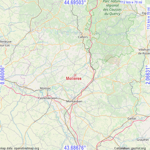
Molières GPS coordinates[2]
44° 11' 34.98" North, 1° 21' 47.448" East
| Map corner | latitude | longitude |
|---|---|---|
| Upper-left | 44.69503°, | 0.66006° |
| Center: | 44.19305°, | 1.36318° |
| Lower-right: | 43.68676°, | 2.06631° |
| Map W x H: | 112.1×112.1 km | = 69.7×69.7mi |
| max Lat: | 51.07786° ⇑85.5% North |
| Molières: | 44.19305° |
| min Lat: | ⇓14.5% South 41.3874° |
| min Long | Molières | max Long |
| -5.08615° | 1.36318° | 9.52242° |
| W 35.1%⇐ | ⇒64.9% E |
Elevation
Elevation of Molières is 175 m = 574 ft, and this is 18.7 m = 61 ft below average elevation for this country.
| Max E: |
2333 m = 7654 ft | 39% |
| Avg. | 193.7 m = 635 ft | |
| Molières | 175 m = 574 ft | |
Min E: |
-1 m = -3 ft | 61% |
See also: France elevation on elevation.city.
Geographical zone
Molières is located in North temperate zone (between Tropic of Cancer and the Arctic Circle). Distance of this Northern Tropic circle is 2307.9 km =1434.1 mi to South.| Distance of | km | miles | from Molières |
|---|---|---|---|
| North Pole | 5093.3 | 3164.8 | to North |
| Arctic Circle | 2487.4 | 1545.6 | to North |
| Tropic Cancer | 2307.9 | 1434.1 | to South |
| Equator | 4913.8 | 3053.3 | to South |


Nearby cities:
15 places around Molières: (largest is in red/bold)
• Albias
13.3 km =8.3 mi,  149°
149°
• Belfort-du-Quercy
16.7 km =10.4 mi,  59°
59°
• Castelnau-Montratier
8.2 km =5.1 mi,  1°
1°
• Caussade
14.5 km =9 mi,  104°
104°
• Cazes-Mondenard
13.3 km =8.3 mi,  286°
286°
• Lafrançaise
12.1 km =7.5 mi,  233°
233°
• Lamothe-Capdeville
12.7 km =7.9 mi,  176°
176°
• Meauzac
15.2 km =9.4 mi,  220°
220°
• Mirabel
7.2 km =4.5 mi,  139°
139°
• Montalzat
11.1 km =6.9 mi,  81°
81°
• Montpezat-de-Quercy
10.4 km =6.5 mi, 60°
• Puycornet
3.8 km =2.4 mi,  198°
198°
• Réalville
12.8 km =8 mi,  133°
133°
• Vazerac
6.2 km =3.9 mi,  267°
267°
• Villemade
14.4 km =8.9 mi, 204°
Sources, notices
• [Note1] Compared only with cities in France existing in our database
• [Src1] Map data: © OpenStreetMap contributors (CC-BY-SA)
• [Src2] Other city data from geonames.org with taken over terms of usage.
• [Src3] Geographical zone / Annual Mean Temperature by Robert A. Rohde @ Wikipedia
