Margut geodata
Margut (Grand Est) is a populated place; located in France in Europe/Paris (GMT+2) time zone. With population of 843 people, there are 10148 cities with bigger population in this country. Compared to other cities in France, 90.3% of cities are located further ↓South; 80.3% of cities are located further ←West and 60.3% of cities have lower elevation than Margut. Note1
Administrative division(s):
- Level 1: Grand Est
- Level 2: Ardennes
- Level 3: Arrondissement de Sedan
- Level 4: Margut


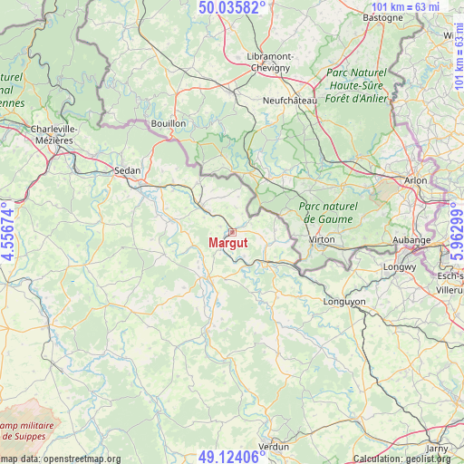
Margut GPS coordinates[2]
49° 34' 55.452" North, 5° 15' 35.496" East
| Map corner | latitude | longitude |
|---|---|---|
| Upper-left | 50.03582°, | 4.55674° |
| Center: | 49.58207°, | 5.25986° |
| Lower-right: | 49.12406°, | 5.96299° |
| Map W x H: | 101.4×101.4 km | = 63×63mi |
| max Lat: | 51.07786° ⇑9.7% North |
| Margut: | 49.58207° |
| min Lat: | ⇓90.3% South 41.3874° |
| min Long | Margut | max Long |
| -5.08615° | 5.25986° | 9.52242° |
| W 80.3%⇐ | ⇒19.7% E |
Elevation
Elevation of Margut is 171 m = 561 ft, and this is 22.7 m = 74 ft below average elevation for this country.
| Max E: |
2333 m = 7654 ft | 39.7% |
| Avg. | 193.7 m = 635 ft | |
| Margut | 171 m = 561 ft | |
Min E: |
-1 m = -3 ft | 60.3% |
See also: France elevation on elevation.city.
Geographical zone
Margut is located in North temperate zone (between Tropic of Cancer and the Arctic Circle). Distance of this North polar circle is 1888.2 km =1173.3 mi to North.| Distance of | km | miles | from Margut |
|---|---|---|---|
| North Pole | 4494.1 | 2792.5 | to North |
| Arctic Circle | 1888.2 | 1173.3 | to North |
| Tropic Cancer | 2907.1 | 1806.4 | to South |
| Equator | 5513 | 3425.6 | to South |


Nearby cities:
15 places around Margut: (largest is in red/bold)
• Blagny
6.6 km =4.1 mi,  311°
311°
• Carignan
8.6 km =5.3 mi, 309°
• Douzy
18.6 km =11.6 mi,  302°
302°
• Francheval
20.1 km =12.5 mi, 311°
• Haraucourt
21.9 km =13.6 mi,  281°
281°
• Marville
20.2 km =12.6 mi,  135°
135°
• Messincourt
13.3 km =8.3 mi,  325°
325°
• Montmédy
10.4 km =6.5 mi,  130°
130°
• Mouzay
13.4 km =8.3 mi,  193°
193°
• Mouzon
13.6 km =8.5 mi, 281°
• Pouru-Saint-Remy
17 km =10.6 mi, 311°
• Pure
11.9 km =7.4 mi, 329°
• Remilly-Aillicourt
20.7 km =12.9 mi,  292°
292°
• Stenay
11.1 km =6.9 mi,  208°
208°
• Écouviez
15.6 km =9.7 mi,  112°
112°
Sources, notices
• [Note1] Compared only with cities in France existing in our database
• [Src1] Map data: © OpenStreetMap contributors (CC-BY-SA)
• [Src2] Other city data from geonames.org with taken over terms of usage.
• [Src3] Geographical zone / Annual Mean Temperature by Robert A. Rohde @ Wikipedia
