Lezoux geodata
Lezoux (Auvergne-Rhône-Alpes) is a populated place; located in France in Europe/Paris (GMT+2) time zone. With population of 5,170 people, there are 1906 cities with bigger population in this country. Compared to other cities in France, 68.9% of cities are located further ↑North; 63% of cities are located further ←West and 86% of cities have lower elevation than Lezoux. Note1
Administrative division(s):
- Level 1: Auvergne-Rhône-Alpes
- Level 2: Département du Puy-de-Dôme
- Level 3: Arrondissement de Thiers
- Level 4: Lezoux


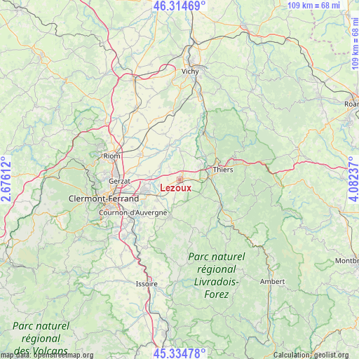
Lezoux GPS coordinates[2]
45° 49' 36.804" North, 3° 22' 45.264" East
| Map corner | latitude | longitude |
|---|---|---|
| Upper-left | 46.31469°, | 2.67612° |
| Center: | 45.82689°, | 3.37924° |
| Lower-right: | 45.33478°, | 4.08237° |
| Map W x H: | 109×109 km | = 67.7×67.7mi |
| max Lat: | 51.07786° ⇑68.9% North |
| Lezoux: | 45.82689° |
| min Lat: | ⇓31.1% South 41.3874° |
| min Long | Lezoux | max Long |
| -5.08615° | 3.37924° | 9.52242° |
| W 63%⇐ | ⇒37% E |
Elevation
Elevation of Lezoux is 360 m = 1181 ft, and this is 166.3 m = 546 ft above average elevation for this country.
| Max E: |
2333 m = 7654 ft | 14% |
| Lezoux | 360 m 1181 ft | |
| Avg. | 193.7 m = 635 ft | |
Min E: |
-1 m = -3 ft | 86% |
See also: France elevation on elevation.city.
Geographical zone
Lezoux is located in North temperate zone (between Tropic of Cancer and the Arctic Circle). Distance of this North polar circle is 2305.7 km =1432.7 mi to North.| Distance of | km | miles | from Lezoux |
|---|---|---|---|
| North Pole | 4911.6 | 3051.9 | to North |
| Arctic Circle | 2305.7 | 1432.7 | to North |
| Tropic Cancer | 2489.6 | 1547 | to South |
| Equator | 5095.5 | 3166.2 | to South |


Nearby cities:
15 places around Lezoux: (largest is in red/bold)
• Bouzel
7.3 km =4.5 mi,  221°
221°
• Chauriat
11.5 km =7.1 mi, 222°
• Crevant-Laveine
9.8 km =6.1 mi,  358°
358°
• Culhat
5.2 km =3.2 mi,  320°
320°
• Dorat
10.7 km =6.6 mi,  47°
47°
• Entraigues
11.5 km =7.1 mi,  307°
307°
• Joze
7.2 km =4.5 mi,  303°
303°
• Les Martres-d'Artière
8.8 km =5.5 mi,  274°
274°
• Maringues
11.2 km =7 mi,  340°
340°
• Moissat Haut
6 km =3.7 mi,  199°
199°
• Orléat
4.9 km =3 mi,  40°
40°
• Peschadoires
8.8 km =5.5 mi,  90°
90°
• Pont-du-Château
10.6 km =6.6 mi,  252°
252°
• Ravel
5.5 km =3.4 mi,  166°
166°
• Vertaizon
9.6 km =6 mi,  228°
228°
Sources, notices
• [Note1] Compared only with cities in France existing in our database
• [Src1] Map data: © OpenStreetMap contributors (CC-BY-SA)
• [Src2] Other city data from geonames.org with taken over terms of usage.
• [Src3] Geographical zone / Annual Mean Temperature by Robert A. Rohde @ Wikipedia
