La Vieille-Lyre geodata
La Vieille-Lyre (Normandy) is a populated place; located in France in Europe/Paris (GMT+2) time zone. With population of 637 people, there are 12716 cities with bigger population in this country. Compared to other cities in France, 77.9% of cities are located further ↓South; 71% of cities are located further →East and 59.6% of cities have lower elevation than La Vieille-Lyre. Note1
Administrative division(s):
- Level 1: Normandy
- Level 2: Département de l'Eure
- Level 3: Arrondissement de Bernay
- Level 4: La Vieille-Lyre


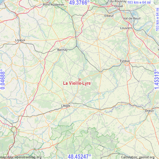
La Vieille-Lyre GPS coordinates[2]
48° 55' 0.012" North, 0° 45' 0" East
| Map corner | latitude | longitude |
|---|---|---|
| Upper-left | 49.3766°, | 0.04688° |
| Center: | 48.91667°, | 0.75° |
| Lower-right: | 48.45247°, | 1.45313° |
| Map W x H: | 102.8×102.8 km | = 63.9×63.9mi |
| max Lat: | 51.07786° ⇑22.1% North |
| La Vieille-Lyre: | 48.91667° |
| min Lat: | ⇓77.9% South 41.3874° |
| min Long | La Vieille-Lyre | max Long |
| -5.08615° | 0.75° | 9.52242° |
| W 29%⇐ | ⇒71% E |
Elevation
Elevation of La Vieille-Lyre is 168 m = 551 ft, and this is 25.7 m = 84 ft below average elevation for this country.
| Max E: |
2333 m = 7654 ft | 40.4% |
| Avg. | 193.7 m = 635 ft | |
| La Vieille-Lyre | 168 m = 551 ft | |
Min E: |
-1 m = -3 ft | 59.6% |
See also: France elevation on elevation.city.
Geographical zone
La Vieille-Lyre is located in North temperate zone (between Tropic of Cancer and the Arctic Circle). Distance of this North polar circle is 1962.2 km =1219.3 mi to North.| Distance of | km | miles | from La Vieille-Lyre |
|---|---|---|---|
| North Pole | 4568 | 2838.4 | to North |
| Arctic Circle | 1962.2 | 1219.3 | to North |
| Tropic Cancer | 2833.1 | 1760.4 | to South |
| Equator | 5439 | 3379.6 | to South |


Nearby cities:
15 places around La Vieille-Lyre: (largest is in red/bold)
• Beaumesnil
11 km =6.8 mi,  342°
342°
• Bois-Arnault
11.4 km =7.1 mi,  187°
187°
• Breteuil
15.3 km =9.5 mi,  127°
127°
• Conches-en-Ouche
14.6 km =9.1 mi,  71°
71°
• Francheville
16.2 km =10.1 mi,  153°
153°
• Glos-la-Ferrière
12.8 km =8 mi,  238°
238°
• Grosley-sur-Risle
14.8 km =9.2 mi,  15°
15°
• La Barre-en-Ouche
7 km =4.3 mi,  297°
297°
• La Guéroulde
15.4 km =9.6 mi,  138°
138°
• La Neuve-Lyre
1 km =0.6 mi,  195°
195°
• Le Fidelaire
6 km =3.7 mi,  52°
52°
• Les Baux-de-Breteuil
6.1 km =3.8 mi, 132°
• Louversey
15 km =9.3 mi,  56°
56°
• Rugles
10.9 km =6.8 mi, 195°
• Saint-Sulpice-sur-Risle
16.6 km =10.3 mi, 204°
Sources, notices
• [Note1] Compared only with cities in France existing in our database
• [Src1] Map data: © OpenStreetMap contributors (CC-BY-SA)
• [Src2] Other city data from geonames.org with taken over terms of usage.
• [Src3] Geographical zone / Annual Mean Temperature by Robert A. Rohde @ Wikipedia
