Jouy geodata
Jouy (Centre) is a populated place; located in France in Europe/Paris (GMT+2) time zone. With population of 1,884 people, there are 5063 cities with bigger population in this country. Compared to other cities in France, 68.5% of cities are located further ↓South; 62.4% of cities are located further →East and 55.2% of cities have higher elevation than Jouy. Note1
Administrative division(s):
- Level 1: Centre
- Level 2: Département d'Eure-et-Loir
- Level 3: Arrondissement de Chartres
- Level 4: Jouy


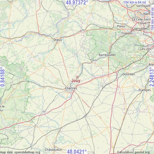
Jouy GPS coordinates[2]
48° 30' 36.18" North, 1° 32' 42.036" East
| Map corner | latitude | longitude |
|---|---|---|
| Upper-left | 48.97372°, | 0.84188° |
| Center: | 48.51005°, | 1.54501° |
| Lower-right: | 48.0421°, | 2.24813° |
| Map W x H: | 103.6×103.6 km | = 64.4×64.4mi |
| max Lat: | 51.07786° ⇑31.5% North |
| Jouy: | 48.51005° |
| min Lat: | ⇓68.5% South 41.3874° |
| min Long | Jouy | max Long |
| -5.08615° | 1.54501° | 9.52242° |
| W 37.6%⇐ | ⇒62.4% E |
Elevation
Elevation of Jouy is 116 m = 381 ft, and this is 77.7 m = 255 ft below average elevation for this country.
| Max E: |
2333 m = 7654 ft | 55.2% |
| Avg. | 193.7 m = 635 ft | |
| Jouy | 116 m = 381 ft | |
Min E: |
-1 m = -3 ft | 44.8% |
See also: France elevation on elevation.city.
Geographical zone
Jouy is located in North temperate zone (between Tropic of Cancer and the Arctic Circle). Distance of this North polar circle is 2007.4 km =1247.3 mi to North.| Distance of | km | miles | from Jouy |
|---|---|---|---|
| North Pole | 4613.2 | 2866.5 | to North |
| Arctic Circle | 2007.4 | 1247.3 | to North |
| Tropic Cancer | 2787.9 | 1732.3 | to South |
| Equator | 5393.8 | 3351.6 | to South |


Nearby cities:
15 places around Jouy: (largest is in red/bold)
• Armenonville-les-Gâtineaux
8.4 km =5.2 mi,  63°
63°
• Bouglainval
6.4 km =4 mi,  336°
336°
• Champhol
5.6 km =3.5 mi,  213°
213°
• Chartainvilliers
3.8 km =2.4 mi,  10°
10°
• Chartres
8.1 km =5 mi, 210°
• Coltainville
4 km =2.5 mi,  128°
128°
• Gasville-Oisème
4.5 km =2.8 mi,  186°
186°
• Houx
8.3 km =5.2 mi,  40°
40°
• Lèves
6.4 km =4 mi,  226°
226°
• Maintenon
8.9 km =5.5 mi,  16°
16°
• Mévoisins
5.8 km =3.6 mi, 37°
• Nogent-le-Phaye
7.6 km =4.7 mi,  161°
161°
• Saint-Piat
5 km =3.1 mi,  34°
34°
• Saint-Prest
2.4 km =1.5 mi, 207°
• Yermenonville
7.6 km =4.7 mi,  46°
46°
Sources, notices
• [Note1] Compared only with cities in France existing in our database
• [Src1] Map data: © OpenStreetMap contributors (CC-BY-SA)
• [Src2] Other city data from geonames.org with taken over terms of usage.
• [Src3] Geographical zone / Annual Mean Temperature by Robert A. Rohde @ Wikipedia
