Jacou geodata
Jacou (Occitanie) is a populated place; located in France in Europe/Paris (GMT+2) time zone. With population of 5,111 people, there are 1926 cities with bigger population in this country. Compared to other cities in France, 91% of cities are located further ↑North; 67.1% of cities are located further ←West and 76.2% of cities have higher elevation than Jacou. Note1
Administrative division(s):
- Level 1: Occitanie
- Level 2: Département de l'Hérault
- Level 3: Arrondissement of Montpellier
- Level 4: Jacou


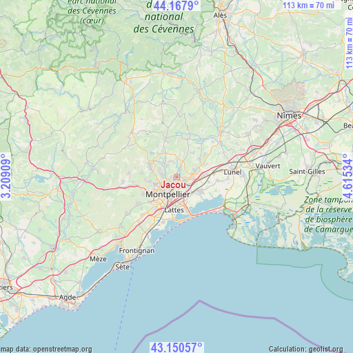
Jacou GPS coordinates[2]
43° 39' 41.004" North, 3° 54' 43.992" East
| Map corner | latitude | longitude |
|---|---|---|
| Upper-left | 44.1679°, | 3.20909° |
| Center: | 43.66139°, | 3.91222° |
| Lower-right: | 43.15057°, | 4.61534° |
| Map W x H: | 113.1×113.1 km | = 70.3×70.3mi |
| max Lat: | 51.07786° ⇑91% North |
| Jacou: | 43.66139° |
| min Lat: | ⇓9% South 41.3874° |
| min Long | Jacou | max Long |
| -5.08615° | 3.91222° | 9.52242° |
| W 67.1%⇐ | ⇒32.9% E |
Elevation
Elevation of Jacou is 64 m = 210 ft, and this is 129.7 m = 426 ft below average elevation for this country.
| Max E: |
2333 m = 7654 ft | 76.2% |
| Avg. | 193.7 m = 635 ft | |
| Jacou | 64 m = 210 ft | |
Min E: |
-1 m = -3 ft | 23.8% |
See also: France elevation on elevation.city.
Geographical zone
Jacou is located in North temperate zone (between Tropic of Cancer and the Arctic Circle). Distance of this Northern Tropic circle is 2248.8 km =1397.3 mi to South.| Distance of | km | miles | from Jacou |
|---|---|---|---|
| North Pole | 5152.4 | 3201.6 | to North |
| Arctic Circle | 2546.5 | 1582.3 | to North |
| Tropic Cancer | 2248.8 | 1397.3 | to South |
| Equator | 4854.7 | 3016.6 | to South |


Nearby cities:
15 places around Jacou: (largest is in red/bold)
• Assas
4.7 km =2.9 mi,  347°
347°
• Baillargues
8.4 km =5.2 mi,  89°
89°
• Castelnau-le-Lez
3.3 km =2.1 mi,  197°
197°
• Castries
6 km =3.7 mi,  70°
70°
• Clapiers
1.9 km =1.2 mi,  259°
259°
• Le Crès
2.7 km =1.7 mi,  123°
123°
• Mauguio
9 km =5.6 mi, 122°
• Montferrier-sur-Lez
4.7 km =2.9 mi,  278°
278°
• Montpellier
6.3 km =3.9 mi,  206°
206°
• Prades-le-Lez
5.5 km =3.4 mi,  316°
316°
• Saint-Aunès
4.9 km =3 mi, 117°
• Saint-Clément-de-Rivière
6.8 km =4.2 mi,  291°
291°
• Saint-Vincent-de-Barbeyrargues
5.8 km =3.6 mi,  331°
331°
• Teyran
3 km =1.9 mi,  26°
26°
• Vendargues
4.7 km =2.9 mi, 94°
Sources, notices
• [Note1] Compared only with cities in France existing in our database
• [Src1] Map data: © OpenStreetMap contributors (CC-BY-SA)
• [Src2] Other city data from geonames.org with taken over terms of usage.
• [Src3] Geographical zone / Annual Mean Temperature by Robert A. Rohde @ Wikipedia
