Guichen geodata
Guichen (Brittany) is a populated place; located in France in Europe/Paris (GMT+2) time zone. With population of 7,142 people, there are 1362 cities with bigger population in this country. Compared to other cities in France, 58.7% of cities are located further ↓South; 94% of cities are located further →East and 68.7% of cities have higher elevation than Guichen. Note1
Administrative division(s):
- Level 1: Brittany
- Level 2: Département d'Ille-et-Vilaine
- Level 3: Arrondissement de Redon
- Level 4: Guichen


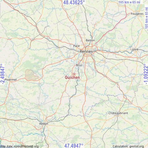
Guichen GPS coordinates[2]
47° 58' 3.432" North, 1° 47' 43.224" West
| Map corner | latitude | longitude |
|---|---|---|
| Upper-left | 48.43625°, | -2.49847° |
| Center: | 47.96762°, | -1.79534° |
| Lower-right: | 47.4947°, | -1.09222° |
| Map W x H: | 104.7×104.7 km | = 65.1×65.1mi |
| max Lat: | 51.07786° ⇑41.3% North |
| Guichen: | 47.96762° |
| min Lat: | ⇓58.7% South 41.3874° |
| min Long | Guichen | max Long |
| -5.08615° | -1.79534° | 9.52242° |
| W 6%⇐ | ⇒94% E |
Elevation
Elevation of Guichen is 81 m = 266 ft, and this is 112.7 m = 370 ft below average elevation for this country.
| Max E: |
2333 m = 7654 ft | 68.7% |
| Avg. | 193.7 m = 635 ft | |
| Guichen | 81 m = 266 ft | |
Min E: |
-1 m = -3 ft | 31.3% |
See also: France elevation on elevation.city.
Geographical zone
Guichen is located in North temperate zone (between Tropic of Cancer and the Arctic Circle). Distance of this North polar circle is 2067.7 km =1284.8 mi to North.| Distance of | km | miles | from Guichen |
|---|---|---|---|
| North Pole | 4673.6 | 2904 | to North |
| Arctic Circle | 2067.7 | 1284.8 | to North |
| Tropic Cancer | 2727.6 | 1694.9 | to South |
| Equator | 5333.5 | 3314.1 | to South |


Nearby cities:
15 places around Guichen: (largest is in red/bold)
• Baulon
10.3 km =6.4 mi,  281°
281°
• Bourg-des-Comptes
5.7 km =3.5 mi,  138°
138°
• Bruz
7.3 km =4.5 mi,  30°
30°
• Bréal-sous-Montfort
10.4 km =6.5 mi,  330°
330°
• Chartres-de-Bretagne
10.4 km =6.5 mi,  40°
40°
• Chavagne
9.7 km =6 mi,  4°
4°
• Crevin
10.3 km =6.4 mi,  111°
111°
• Goven
5.7 km =3.5 mi,  318°
318°
• Guignen
7.2 km =4.5 mi,  223°
223°
• Laillé
6 km =3.7 mi,  78°
78°
• Lassy
5.8 km =3.6 mi, 281°
• Orgères
10.1 km =6.3 mi,  69°
69°
• Pléchâtel
8.8 km =5.5 mi,  156°
156°
• Saint-Malo-de-Phily
10.1 km =6.3 mi,  176°
176°
• Saint-Senoux
6.9 km =4.3 mi, 175°
Sources, notices
• [Note1] Compared only with cities in France existing in our database
• [Src1] Map data: © OpenStreetMap contributors (CC-BY-SA)
• [Src2] Other city data from geonames.org with taken over terms of usage.
• [Src3] Geographical zone / Annual Mean Temperature by Robert A. Rohde @ Wikipedia
