Geneuille geodata
Geneuille (Bourgogne-Franche-Comté) is a populated place; located in France in Europe/Paris (GMT+2) time zone. With population of 916 people, there are 9519 cities with bigger population in this country. Compared to other cities in France, 51.1% of cities are located further ↑North; 86.7% of cities are located further ←West and 70.9% of cities have lower elevation than Geneuille. Note1
Administrative division(s):
- Level 1: Bourgogne-Franche-Comté
- Level 2: Doubs
- Level 3: Arrondissement de Besançon
- Level 4: Geneuille


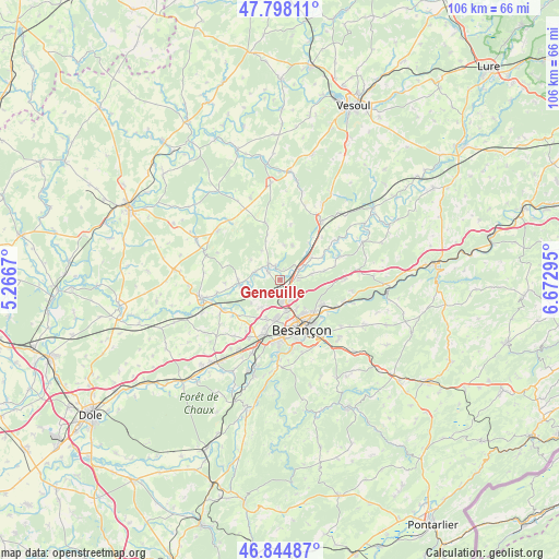
Geneuille GPS coordinates[2]
47° 19' 25.104" North, 5° 58' 11.352" East
| Map corner | latitude | longitude |
|---|---|---|
| Upper-left | 47.79811°, | 5.2667° |
| Center: | 47.32364°, | 5.96982° |
| Lower-right: | 46.84487°, | 6.67295° |
| Map W x H: | 106×106 km | = 65.9×65.9mi |
| max Lat: | 51.07786° ⇑51.1% North |
| Geneuille: | 47.32364° |
| min Lat: | ⇓48.9% South 41.3874° |
| min Long | Geneuille | max Long |
| -5.08615° | 5.96982° | 9.52242° |
| W 86.7%⇐ | ⇒13.3% E |
Elevation
Elevation of Geneuille is 223 m = 732 ft, and this is 29.3 m = 96 ft above average elevation for this country.
| Max E: |
2333 m = 7654 ft | 29.1% |
| Geneuille | 223 m 732 ft | |
| Avg. | 193.7 m = 635 ft | |
Min E: |
-1 m = -3 ft | 70.9% |
See also: France elevation on elevation.city.
Geographical zone
Geneuille is located in North temperate zone (between Tropic of Cancer and the Arctic Circle). Distance of this North polar circle is 2139.3 km =1329.3 mi to North.| Distance of | km | miles | from Geneuille |
|---|---|---|---|
| North Pole | 4745.2 | 2948.5 | to North |
| Arctic Circle | 2139.3 | 1329.3 | to North |
| Tropic Cancer | 2656 | 1650.4 | to South |
| Equator | 5261.9 | 3269.6 | to South |


Nearby cities:
15 places around Geneuille: (largest is in red/bold)
• Auxon-Dessous
3 km =1.9 mi,  209°
209°
• Auxon-Dessus
3.1 km =1.9 mi,  200°
200°
• Bonnay
6.1 km =3.8 mi,  79°
79°
• Boult
6.8 km =4.2 mi,  20°
20°
• Chaucenne
7 km =4.3 mi,  231°
231°
• Châtillon-le-Duc
3.6 km =2.2 mi,  126°
126°
• Devecey
3.7 km =2.3 mi,  93°
93°
• Miserey-Salines
4.2 km =2.6 mi,  175°
175°
• Pelousey
6.4 km =4 mi, 213°
• Pin
7.8 km =4.8 mi,  264°
264°
• Pirey
6.9 km =4.3 mi, 183°
• Pouilley-les-Vignes
7.8 km =4.8 mi, 199°
• École-Valentin
6.4 km =4 mi,  170°
170°
• Émagny
7.7 km =4.8 mi, 260°
• Étuz
3.6 km =2.2 mi,  322°
322°
Sources, notices
• [Note1] Compared only with cities in France existing in our database
• [Src1] Map data: © OpenStreetMap contributors (CC-BY-SA)
• [Src2] Other city data from geonames.org with taken over terms of usage.
• [Src3] Geographical zone / Annual Mean Temperature by Robert A. Rohde @ Wikipedia
