Espère geodata
Espère (Occitanie) is a populated place; located in France in Europe/Paris (GMT+2) time zone. With population of 940 people, there are 9303 cities with bigger population in this country. Compared to other cities in France, 83.5% of cities are located further ↑North; 64.7% of cities are located further →East and 52.8% of cities have lower elevation than Espère. Note1
Administrative division(s):
- Level 1: Occitanie
- Level 2: Lot
- Level 3: Arrondissement de Cahors
- Level 4: Espère


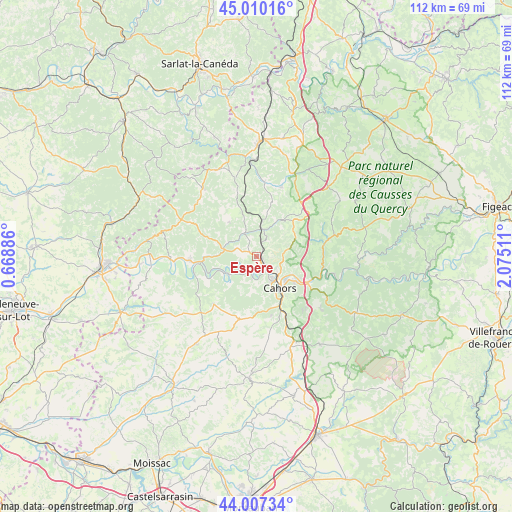
Espère GPS coordinates[2]
44° 30' 39.276" North, 1° 22' 19.128" East
| Map corner | latitude | longitude |
|---|---|---|
| Upper-left | 45.01016°, | 0.66886° |
| Center: | 44.51091°, | 1.37198° |
| Lower-right: | 44.00734°, | 2.07511° |
| Map W x H: | 111.5×111.5 km | = 69.3×69.3mi |
| max Lat: | 51.07786° ⇑83.5% North |
| Espère: | 44.51091° |
| min Lat: | ⇓16.5% South 41.3874° |
| min Long | Espère | max Long |
| -5.08615° | 1.37198° | 9.52242° |
| W 35.3%⇐ | ⇒64.7% E |
Elevation
Elevation of Espère is 142 m = 466 ft, and this is 51.7 m = 170 ft below average elevation for this country.
| Max E: |
2333 m = 7654 ft | 47.2% |
| Avg. | 193.7 m = 635 ft | |
| Espère | 142 m = 466 ft | |
Min E: |
-1 m = -3 ft | 52.8% |
See also: France elevation on elevation.city.
Geographical zone
Espère is located in North temperate zone (between Tropic of Cancer and the Arctic Circle). Distance of this Northern Tropic circle is 2343.2 km =1456 mi to South.| Distance of | km | miles | from Espère |
|---|---|---|---|
| North Pole | 5057.9 | 3142.8 | to North |
| Arctic Circle | 2452 | 1523.6 | to North |
| Tropic Cancer | 2343.2 | 1456 | to South |
| Equator | 4949.1 | 3075.2 | to South |


Nearby cities:
15 places around Espère: (largest is in red/bold)
• Albas
11.7 km =7.3 mi,  246°
246°
• Arcambal
12.7 km =7.9 mi,  118°
118°
• Cahors
8.6 km =5.3 mi,  143°
143°
• Caillac
2.7 km =1.7 mi,  211°
211°
• Catus
5.8 km =3.6 mi,  330°
330°
• Douelle
4.7 km =2.9 mi,  191°
191°
• Flaujac-Poujols
15.5 km =9.6 mi, 139°
• Labastide-Marnhac
13.8 km =8.6 mi,  170°
170°
• Lamagdelaine
10.4 km =6.5 mi, 117°
• Laroque-des-Arcs
8.5 km =5.3 mi, 116°
• Luzech
7.7 km =4.8 mi,  241°
241°
• Mercuès
1.9 km =1.2 mi, 144°
• Pradines
3.8 km =2.4 mi, 142°
• Prayssac
14.6 km =9.1 mi,  267°
267°
• Trespoux-Rassiels
10.9 km =6.8 mi,  177°
177°
Sources, notices
• [Note1] Compared only with cities in France existing in our database
• [Src1] Map data: © OpenStreetMap contributors (CC-BY-SA)
• [Src2] Other city data from geonames.org with taken over terms of usage.
• [Src3] Geographical zone / Annual Mean Temperature by Robert A. Rohde @ Wikipedia
