Épisy geodata
Épisy (Île-de-France) is a populated place; located in France in Europe/Paris (GMT+2) time zone. With population of 536 people, there are 14480 cities with bigger population in this country. Compared to other cities in France, 65.2% of cities are located further ↓South; 54.7% of cities are located further ←West and 79.8% of cities have higher elevation than Épisy. Note1
Administrative division(s):
- Level 1: Île-de-France
- Level 2: Seine-et-Marne
- Level 3: Arrondissement de Fontainebleau
- Level 4: Moret-Loing-et-Orvanne


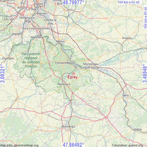
Épisy GPS coordinates[2]
48° 20' 4.164" North, 2° 47' 10.824" East
| Map corner | latitude | longitude |
|---|---|---|
| Upper-left | 48.79977°, | 2.08321° |
| Center: | 48.33449°, | 2.78634° |
| Lower-right: | 47.86492°, | 3.48946° |
| Map W x H: | 103.9×103.9 km | = 64.6×64.6mi |
| max Lat: | 51.07786° ⇑34.8% North |
| Épisy: | 48.33449° |
| min Lat: | ⇓65.2% South 41.3874° |
| min Long | Épisy | max Long |
| -5.08615° | 2.78634° | 9.52242° |
| W 54.7%⇐ | ⇒45.3% E |
Elevation
Elevation of Épisy is 55 m = 180 ft, and this is 138.7 m = 455 ft below average elevation for this country.
| Max E: |
2333 m = 7654 ft | 79.8% |
| Avg. | 193.7 m = 635 ft | |
| Épisy | 55 m = 180 ft | |
Min E: |
-1 m = -3 ft | 20.2% |
See also: France elevation on elevation.city.
Geographical zone
Épisy is located in North temperate zone (between Tropic of Cancer and the Arctic Circle). Distance of this North polar circle is 2026.9 km =1259.5 mi to North.| Distance of | km | miles | from Épisy |
|---|---|---|---|
| North Pole | 4632.8 | 2878.7 | to North |
| Arctic Circle | 2026.9 | 1259.5 | to North |
| Tropic Cancer | 2768.4 | 1720.2 | to South |
| Equator | 5374.3 | 3339.4 | to South |


Nearby cities:
15 places around Épisy: (largest is in red/bold)
• Bourron-Marlotte
6.4 km =4 mi,  276°
276°
• Champagne-sur-Seine
7.1 km =4.4 mi,  6°
6°
• Grez-sur-Loing
7.5 km =4.7 mi,  255°
255°
• La Genevraye
3.4 km =2.1 mi,  242°
242°
• Montcourt-Fromonville
6.8 km =4.2 mi, 242°
• Montigny-sur-Loing
3.1 km =1.9 mi,  272°
272°
• Moret-sur-Loing
4.8 km =3 mi,  28°
28°
• Nonville
5.8 km =3.6 mi,  175°
175°
• Saint-Mammès
6 km =3.7 mi,  21°
21°
• Thomery
8.1 km =5 mi,  1°
1°
• Veneux-les-Sablons
5 km =3.1 mi, 7°
• Vernou-la-Celle-sur-Seine
7.4 km =4.6 mi,  37°
37°
• Villecerf
4.6 km =2.9 mi,  99°
99°
• Villemer
4.7 km =2.9 mi,  143°
143°
• Écuelles
3.7 km =2.3 mi,  48°
48°
Sources, notices
• [Note1] Compared only with cities in France existing in our database
• [Src1] Map data: © OpenStreetMap contributors (CC-BY-SA)
• [Src2] Other city data from geonames.org with taken over terms of usage.
• [Src3] Geographical zone / Annual Mean Temperature by Robert A. Rohde @ Wikipedia
