Coray geodata
Coray (Brittany) is a populated place; located in France in Europe/Paris (GMT+2) time zone. With population of 1,704 people, there are 5512 cities with bigger population in this country. Compared to other cities in France, 60.4% of cities are located further ↓South; 98.8% of cities are located further →East and 70.4% of cities have lower elevation than Coray. Note1
Administrative division(s):
- Level 1: Brittany
- Level 2: Département du Finistère
- Level 3: Arrondissement de Châteaulin
- Level 4: Coray


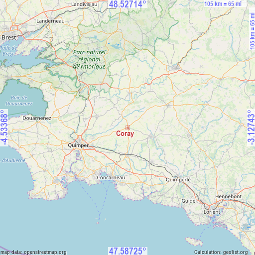
Coray GPS coordinates[2]
48° 3' 33.624" North, 3° 49' 50.016" West
| Map corner | latitude | longitude |
|---|---|---|
| Upper-left | 48.52714°, | -4.53368° |
| Center: | 48.05934°, | -3.83056° |
| Lower-right: | 47.58725°, | -3.12743° |
| Map W x H: | 104.5×104.5 km | = 64.9×64.9mi |
| max Lat: | 51.07786° ⇑39.6% North |
| Coray: | 48.05934° |
| min Lat: | ⇓60.4% South 41.3874° |
| min Long | Coray | max Long |
| -5.08615° | -3.83056° | 9.52242° |
| W 1.2%⇐ | ⇒98.8% E |
Elevation
Elevation of Coray is 221 m = 725 ft, and this is 27.3 m = 90 ft above average elevation for this country.
| Max E: |
2333 m = 7654 ft | 29.6% |
| Coray | 221 m 725 ft | |
| Avg. | 193.7 m = 635 ft | |
Min E: |
-1 m = -3 ft | 70.4% |
See also: France elevation on elevation.city.
Geographical zone
Coray is located in North temperate zone (between Tropic of Cancer and the Arctic Circle). Distance of this North polar circle is 2057.5 km =1278.5 mi to North.| Distance of | km | miles | from Coray |
|---|---|---|---|
| North Pole | 4663.4 | 2897.7 | to North |
| Arctic Circle | 2057.5 | 1278.5 | to North |
| Tropic Cancer | 2737.8 | 1701.2 | to South |
| Equator | 5343.7 | 3320.4 | to South |


Nearby cities:
15 places around Coray: (largest is in red/bold)
• Briec
13.3 km =8.3 mi,  290°
290°
• Edern
12.2 km =7.6 mi, 291°
• Elliant
8.5 km =5.3 mi,  211°
211°
• Landudal
10.9 km =6.8 mi,  271°
271°
• Langolen
6.2 km =3.9 mi,  277°
277°
• Laz
8.7 km =5.4 mi,  357°
357°
• Leuhan
5.6 km =3.5 mi,  38°
38°
• Rosporden
10.3 km =6.4 mi,  181°
181°
• Roudouallec
11.8 km =7.3 mi,  45°
45°
• Saint-Goazec
12.4 km =7.7 mi,  16°
16°
• Saint-Thois
12.6 km =7.8 mi,  341°
341°
• Saint-Yvi
12.8 km =8 mi,  216°
216°
• Scaër
10.1 km =6.3 mi,  106°
106°
• Tourch
2.9 km =1.8 mi, 184°
• Trégourez
5.3 km =3.3 mi,  329°
329°
Sources, notices
• [Note1] Compared only with cities in France existing in our database
• [Src1] Map data: © OpenStreetMap contributors (CC-BY-SA)
• [Src2] Other city data from geonames.org with taken over terms of usage.
• [Src3] Geographical zone / Annual Mean Temperature by Robert A. Rohde @ Wikipedia
