Killin geodata
Killin (Scotland) is a populated place; located in United Kingdom in Europe/London (GMT+1) time zone. With population of 720 people, there are 4216 cities with bigger population in this country. Compared to other cities in United Kingdom, 96.6% of cities are located further ↓South; 91.6% of cities are located further →East and 79.3% of cities have lower elevation than Killin. Note1


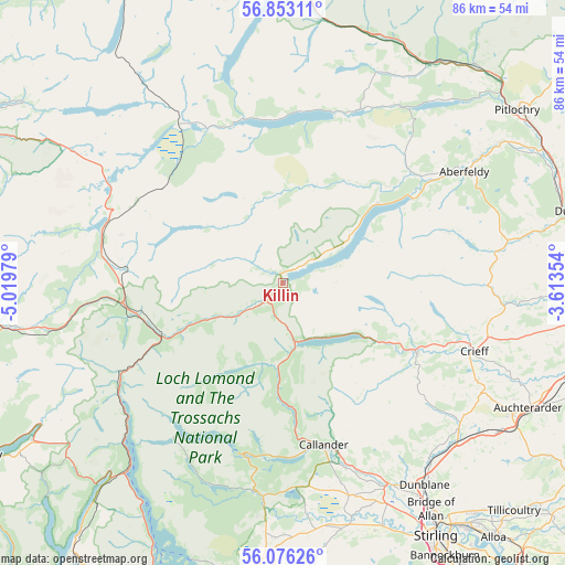
Killin GPS coordinates[2]
56° 28' 0.012" North, 4° 19' 0.012" West
| Map corner | latitude | longitude |
|---|---|---|
| Upper-left | 56.85311°, | -5.01979° |
| Center: | 56.46667°, | -4.31667° |
| Lower-right: | 56.07626°, | -3.61354° |
| Map W x H: | 86.4×86.4 km | = 53.7×53.7mi |
| max Lat: | 60.39635° ⇑3.4% North |
| Killin: | 56.46667° |
| min Lat: | ⇓96.6% South 34.60088° |
| min Long | Killin | max Long |
| -7.64133° | -4.31667° | 32.95536° |
| W 8.4%⇐ | ⇒91.6% E |
Elevation
Elevation of Killin is 116 m = 381 ft, and this is 43.1 m = 141 ft above average elevation for this country.
| Max E: |
515 m = 1690 ft | 20.7% |
| Killin | 116 m 381 ft | |
| Avg. | 72.9 m = 239 ft | |
Min E: |
-30 m = -98 ft | 79.3% |
See also: United Kingdom elevation on elevation.city.
Geographical zone
Killin is located in North temperate zone (between Tropic of Cancer and the Arctic Circle). Distance of this North polar circle is 1122.7 km =697.6 mi to North.| Distance of | km | miles | from Killin |
|---|---|---|---|
| North Pole | 3728.6 | 2316.8 | to North |
| Arctic Circle | 1122.7 | 697.6 | to North |
| Tropic Cancer | 3672.6 | 2282 | to South |
| Equator | 6278.5 | 3901.3 | to South |


Nearby cities:
15 places around Killin: (largest is in red/bold)
• Aberfeldy
32.5 km =20.2 mi,  57°
57°
• Aberfoyle
32.3 km =20.1 mi,  187°
187°
• Blackford
40.1 km =24.9 mi,  125°
125°
• Braco
35.1 km =21.8 mi, 129°
• Bridge of Allan
41.6 km =25.8 mi,  146°
146°
• Buchlyvie
39.1 km =24.3 mi,  178°
178°
• Callander
25.5 km =15.8 mi,  165°
165°
• Comrie
23.5 km =14.6 mi,  117°
117°
• Crieff
31.2 km =19.4 mi,  109°
109°
• Doune
34.8 km =21.6 mi, 152°
• Dunblane
37.8 km =23.5 mi,  144°
144°
• Gargunnock
40.7 km =25.3 mi,  159°
159°
• Kippen
38.9 km =24.2 mi, 166°
• Muthill
33.3 km =20.7 mi, 116°
• Thornhill
34.2 km =21.3 mi, 162°
Sources, notices
• [Note1] Compared only with cities in United Kingdom existing in our database
• [Src1] Map data: © OpenStreetMap contributors (CC-BY-SA)
• [Src2] Other city data from geonames.org with taken over terms of usage.
• [Src3] Geographical zone / Annual Mean Temperature by Robert A. Rohde @ Wikipedia
