Insch geodata
Insch (Scotland) is a populated place; located in United Kingdom in Europe/London (GMT+1) time zone. With population of 2,320 people, there are 2431 cities with bigger population in this country. Compared to other cities in United Kingdom, 98.2% of cities are located further ↓South; 67.2% of cities are located further →East and 83.8% of cities have lower elevation than Insch. Note1


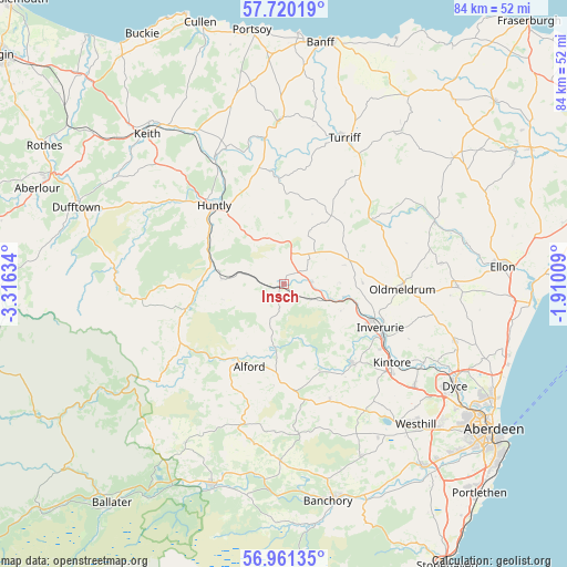
Insch GPS coordinates[2]
57° 20' 33.828" North, 2° 36' 47.556" West
| Map corner | latitude | longitude |
|---|---|---|
| Upper-left | 57.72019°, | -3.31634° |
| Center: | 57.34273°, | -2.61321° |
| Lower-right: | 56.96135°, | -1.91009° |
| Map W x H: | 84.4×84.4 km | = 52.4×52.4mi |
| max Lat: | 60.39635° ⇑1.8% North |
| Insch: | 57.34273° |
| min Lat: | ⇓98.2% South 34.60088° |
| min Long | Insch | max Long |
| -7.64133° | -2.61321° | 32.95536° |
| W 32.8%⇐ | ⇒67.2% E |
Elevation
Elevation of Insch is 129 m = 423 ft, and this is 56.1 m = 184 ft above average elevation for this country.
| Max E: |
515 m = 1690 ft | 16.2% |
| Insch | 129 m 423 ft | |
| Avg. | 72.9 m = 239 ft | |
Min E: |
-30 m = -98 ft | 83.8% |
See also: United Kingdom elevation on elevation.city.
Geographical zone
Insch is located in North temperate zone (between Tropic of Cancer and the Arctic Circle). Distance of this North polar circle is 1025.3 km =637.1 mi to North.| Distance of | km | miles | from Insch |
|---|---|---|---|
| North Pole | 3631.1 | 2256.3 | to North |
| Arctic Circle | 1025.3 | 637.1 | to North |
| Tropic Cancer | 3770 | 2342.6 | to South |
| Equator | 6375.9 | 3961.8 | to South |


Nearby cities:
15 places around Insch: (largest is in red/bold)
• Aberchirder
24.2 km =15 mi,  357°
357°
• Alford
13.4 km =8.3 mi,  203°
203°
• Blackburn
24.9 km =15.5 mi,  128°
128°
• Bridgend
13.8 km =8.6 mi,  297°
297°
• Huntly
15.6 km =9.7 mi,  318°
318°
• Inverurie
15.6 km =9.7 mi,  114°
114°
• Kemnay
15.7 km =9.8 mi,  139°
139°
• Kintore
19.9 km =12.4 mi, 126°
• Lumphanan
24.5 km =15.2 mi,  190°
190°
• Oldmeldrum
17.6 km =10.9 mi,  92°
92°
• Pitmedden
26 km =16.2 mi, 91°
• Rothienorman
11.7 km =7.3 mi,  49°
49°
• Sauchen
18.7 km =11.6 mi,  158°
158°
• Tarves
23.7 km =14.7 mi,  82°
82°
• Turriff
23.6 km =14.7 mi,  22°
22°
Sources, notices
• [Note1] Compared only with cities in United Kingdom existing in our database
• [Src1] Map data: © OpenStreetMap contributors (CC-BY-SA)
• [Src2] Other city data from geonames.org with taken over terms of usage.
• [Src3] Geographical zone / Annual Mean Temperature by Robert A. Rohde @ Wikipedia
