Faliraki geodata
Faliraki (South Aegean) is a populated place; located in Greece in Europe/Athens (GMT+3) time zone. With population of 6,000 people, there are 203 cities with bigger population in this country. Compared to other cities in Greece, 93.1% of cities are located further ↑North; 99.9% of cities are located further ←West and 85.7% of cities have higher elevation than Faliraki. Note1


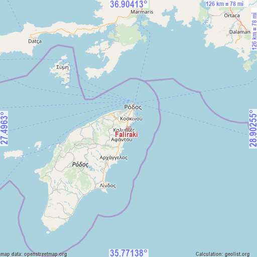
Faliraki GPS coordinates[2]
36° 20' 23.316" North, 28° 11' 57.912" East
| Map corner | latitude | longitude |
|---|---|---|
| Upper-left | 36.90413°, | 27.4963° |
| Center: | 36.33981°, | 28.19942° |
| Lower-right: | 35.77138°, | 28.90255° |
| Map W x H: | 125.9×125.9 km | = 78.2×78.2mi |
| max Lat: | 41.72048° ⇑93.1% North |
| Faliraki: | 36.33981° |
| min Lat: | ⇓6.9% South 34.8346° |
| min Long | Faliraki | max Long |
| 19.40494° | 28.19942° | 29.59361° |
| W 99.9%⇐ | ⇒0.099999999999994% E |
Elevation
Elevation of Faliraki is 12 m = 39 ft, and this is 156.9 m = 515 ft below average elevation for this country.
| Max E: |
1439 m = 4721 ft | 85.7% |
| Avg. | 168.9 m = 554 ft | |
| Faliraki | 12 m = 39 ft | |
Min E: |
0 m = 0 ft | 14.3% |
See also: Greece elevation on elevation.city.
Geographical zone
Faliraki is located in North temperate zone (between Tropic of Cancer and the Arctic Circle). Distance of this Northern Tropic circle is 1434.7 km =891.5 mi to South.| Distance of | km | miles | from Faliraki |
|---|---|---|---|
| North Pole | 5966.5 | 3707.4 | to North |
| Arctic Circle | 3360.6 | 2088.2 | to North |
| Tropic Cancer | 1434.7 | 891.5 | to South |
| Equator | 4040.6 | 2510.7 | to South |


Nearby cities:
15 places around Faliraki: (largest is in red/bold)
• Afántou
6.1 km =3.8 mi,  212°
212°
• Apóllona
22.6 km =14 mi,  247°
247°
• Archángelos
15.8 km =9.8 mi, 208°
• Chálki
54.3 km =33.7 mi,  256°
256°
• Dhamatria
11.4 km =7.1 mi,  293°
293°
• Fanes
19.4 km =12.1 mi,  273°
273°
• Gennadi
43 km =26.7 mi,  215°
215°
• Ialysós
9.1 km =5.7 mi,  334°
334°
• Kremastí
10.6 km =6.6 mi,  317°
317°
• Lárdos
31.9 km =19.8 mi, 211°
• Líndos
29.5 km =18.3 mi,  200°
200°
• Megálo Chorió
77.5 km =48.2 mi,  279°
279°
• Ródos
10.8 km =6.7 mi,  10°
10°
• Sými
44.7 km =27.8 mi,  313°
313°
• Émponas
33.2 km =20.6 mi, 247°
Sources, notices
• [Note1] Compared only with cities in Greece existing in our database
• [Src1] Map data: © OpenStreetMap contributors (CC-BY-SA)
• [Src2] Other city data from geonames.org with taken over terms of usage.
• [Src3] Geographical zone / Annual Mean Temperature by Robert A. Rohde @ Wikipedia
