Stavráki geodata
Stavráki (Epirus) is a populated place; located in Greece in Europe/Athens (GMT+3) time zone. With population of 1,563 people, there are 634 cities with bigger population in this country. Compared to other cities in Greece, 61.6% of cities are located further ↓South; 93.5% of cities are located further →East and 90.6% of cities have lower elevation than Stavráki. Note1


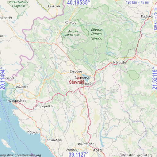
Stavráki GPS coordinates[2]
39° 39' 22.104" North, 20° 49' 5.016" East
| Map corner | latitude | longitude |
|---|---|---|
| Upper-left | 40.19535°, | 20.11494° |
| Center: | 39.65614°, | 20.81806° |
| Lower-right: | 39.1127°, | 21.52119° |
| Map W x H: | 120.4×120.4 km | = 74.8×74.8mi |
| max Lat: | 41.72048° ⇑38.4% North |
| Stavráki: | 39.65614° |
| min Lat: | ⇓61.6% South 34.8346° |
| min Long | Stavráki | max Long |
| 19.40494° | 20.81806° | 29.59361° |
| W 6.5%⇐ | ⇒93.5% E |
Elevation
Elevation of Stavráki is 518 m = 1699 ft, and this is 349.1 m = 1145 ft above average elevation for this country.
| Max E: |
1439 m = 4721 ft | 9.4% |
| Stavráki | 518 m 1699 ft | |
| Avg. | 168.9 m = 554 ft | |
Min E: |
0 m = 0 ft | 90.6% |
See also: Greece elevation on elevation.city.
Geographical zone
Stavráki is located in North temperate zone (between Tropic of Cancer and the Arctic Circle). Distance of this Northern Tropic circle is 1803.4 km =1120.6 mi to South.| Distance of | km | miles | from Stavráki |
|---|---|---|---|
| North Pole | 5597.7 | 3478.2 | to North |
| Arctic Circle | 2991.8 | 1859 | to North |
| Tropic Cancer | 1803.4 | 1120.6 | to South |
| Equator | 4409.3 | 2739.8 | to South |


Nearby cities:
15 places around Stavráki: (largest is in red/bold)
• Amfithéa
5.6 km =3.5 mi,  45°
45°
• Anatolí
4.7 km =2.9 mi,  119°
119°
• Eksochí
3.5 km =2.2 mi,  6°
6°
• Ioánnina
3.1 km =1.9 mi,  71°
71°
• Kardamítsia
2.5 km =1.6 mi,  3°
3°
• Káto Mármara
1.7 km =1.1 mi,  149°
149°
• Káto Neochorópoulo
2.6 km =1.6 mi,  132°
132°
• Mármara
1.9 km =1.2 mi,  266°
266°
• Neochorópoulo
3.7 km =2.3 mi,  156°
156°
• Pentéli
1.9 km =1.2 mi,  56°
56°
• Pérama
4.8 km =3 mi,  30°
30°
• Tsiflikópoulo
1.8 km =1.1 mi,  89°
89°
• Velissários
1.9 km =1.2 mi,  109°
109°
• Vounoplagiá
4.8 km =3 mi,  325°
325°
• Ágios Ioánnis
4.5 km =2.8 mi,  354°
354°
Sources, notices
• [Note1] Compared only with cities in Greece existing in our database
• [Src1] Map data: © OpenStreetMap contributors (CC-BY-SA)
• [Src2] Other city data from geonames.org with taken over terms of usage.
• [Src3] Geographical zone / Annual Mean Temperature by Robert A. Rohde @ Wikipedia
