Galatás geodata
Galatás (Attica) is a seat of a third-order administrative division; located in Greece in Europe/Athens (GMT+3) time zone. With population of 2,195 people, there are 470 cities with bigger population in this country. Compared to other cities in Greece, 86% of cities are located further ↑North; 63.5% of cities are located further ←West and 81.5% of cities have higher elevation than Galatás. Note1


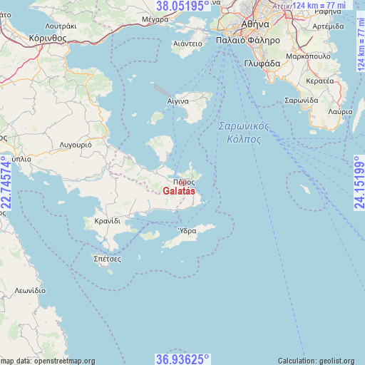
Galatás GPS coordinates[2]
37° 29' 46.248" North, 23° 26' 55.896" East
| Map corner | latitude | longitude |
|---|---|---|
| Upper-left | 38.05195°, | 22.74574° |
| Center: | 37.49618°, | 23.44886° |
| Lower-right: | 36.93625°, | 24.15199° |
| Map W x H: | 124.1×124.1 km | = 77.1×77.1mi |
| max Lat: | 41.72048° ⇑86% North |
| Galatás: | 37.49618° |
| min Lat: | ⇓14% South 34.8346° |
| min Long | Galatás | max Long |
| 19.40494° | 23.44886° | 29.59361° |
| W 63.5%⇐ | ⇒36.5% E |
Elevation
Elevation of Galatás is 16 m = 52 ft, and this is 152.9 m = 502 ft below average elevation for this country.
| Max E: |
1439 m = 4721 ft | 81.5% |
| Avg. | 168.9 m = 554 ft | |
| Galatás | 16 m = 52 ft | |
Min E: |
0 m = 0 ft | 18.5% |
See also: Greece elevation on elevation.city.
Geographical zone
Galatás is located in North temperate zone (between Tropic of Cancer and the Arctic Circle). Distance of this Northern Tropic circle is 1563.3 km =971.4 mi to South.| Distance of | km | miles | from Galatás |
|---|---|---|---|
| North Pole | 5837.9 | 3627.5 | to North |
| Arctic Circle | 3232 | 2008.3 | to North |
| Tropic Cancer | 1563.3 | 971.4 | to South |
| Equator | 4169.2 | 2590.6 | to South |


Nearby cities:
15 places around Galatás: (largest is in red/bold)
• Aegina
27.9 km =17.3 mi,  356°
356°
• Dídyma
24.7 km =15.3 mi,  261°
261°
• Ermióni
21.7 km =13.5 mi,  235°
235°
• Iliókastron
17 km =10.6 mi,  250°
250°
• Kalloní
14.9 km =9.3 mi,  288°
288°
• Kranídi
28.6 km =17.8 mi, 243°
• Kypséli
29.4 km =18.3 mi,  0°
0°
• Megalochóri
25.5 km =15.8 mi,  339°
339°
• Mesagrós
29.6 km =18.4 mi,  11°
11°
• Méthana
10.8 km =6.7 mi,  331°
331°
• Pérdhika
21.8 km =13.5 mi, 0°
• Póros
0.6 km =0.4 mi,  49°
49°
• Troizína
7.6 km =4.7 mi,  270°
270°
• Vathý
29.9 km =18.6 mi, 5°
• Ýdra
16.3 km =10.1 mi,  174°
174°
Sources, notices
• [Note1] Compared only with cities in Greece existing in our database
• [Src1] Map data: © OpenStreetMap contributors (CC-BY-SA)
• [Src2] Other city data from geonames.org with taken over terms of usage.
• [Src3] Geographical zone / Annual Mean Temperature by Robert A. Rohde @ Wikipedia
