Pérdhika geodata
Pérdhika (Attica) is a populated place; located in Greece in Europe/Athens (GMT+3) time zone. With population of 680 people, there are 1445 cities with bigger population in this country. Compared to other cities in Greece, 82.9% of cities are located further ↑North; 63.6% of cities are located further ←West and 76.1% of cities have higher elevation than Pérdhika. Note1


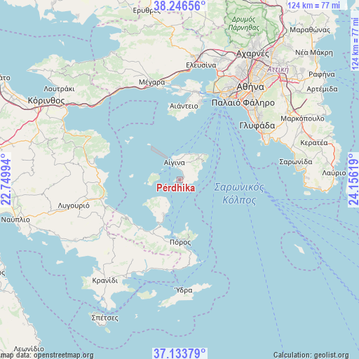
Pérdhika GPS coordinates[2]
37° 41' 32.136" North, 23° 27' 11.016" East
| Map corner | latitude | longitude |
|---|---|---|
| Upper-left | 38.24656°, | 22.74994° |
| Center: | 37.69226°, | 23.45306° |
| Lower-right: | 37.13379°, | 24.15619° |
| Map W x H: | 123.7×123.7 km | = 76.9×76.9mi |
| max Lat: | 41.72048° ⇑82.9% North |
| Pérdhika: | 37.69226° |
| min Lat: | ⇓17.1% South 34.8346° |
| min Long | Pérdhika | max Long |
| 19.40494° | 23.45306° | 29.59361° |
| W 63.6%⇐ | ⇒36.4% E |
Elevation
Elevation of Pérdhika is 22 m = 72 ft, and this is 146.9 m = 482 ft below average elevation for this country.
| Max E: |
1439 m = 4721 ft | 76.1% |
| Avg. | 168.9 m = 554 ft | |
| Pérdhika | 22 m = 72 ft | |
Min E: |
0 m = 0 ft | 23.9% |
See also: Greece elevation on elevation.city.
Geographical zone
Pérdhika is located in North temperate zone (between Tropic of Cancer and the Arctic Circle). Distance of this Northern Tropic circle is 1585.1 km =984.9 mi to South.| Distance of | km | miles | from Pérdhika |
|---|---|---|---|
| North Pole | 5816.1 | 3614 | to North |
| Arctic Circle | 3210.2 | 1994.7 | to North |
| Tropic Cancer | 1585.1 | 984.9 | to South |
| Equator | 4191 | 2604.2 | to South |


Nearby cities:
15 places around Pérdhika: (largest is in red/bold)
• Aegina
6.5 km =4 mi,  339°
339°
• Aiánteio
25.5 km =15.8 mi,  1°
1°
• Ampelákia
29.5 km =18.3 mi,  12°
12°
• Galatás
21.8 km =13.5 mi,  180°
180°
• Kalloní
22.4 km =13.9 mi,  220°
220°
• Kypséli
7.6 km =4.7 mi, 0°
• Megalochóri
9.6 km =6 mi,  282°
282°
• Mesagrós
9.1 km =5.7 mi,  38°
38°
• Méthana
13.5 km =8.4 mi,  204°
204°
• Néa Epídavros
28.8 km =17.9 mi,  266°
266°
• Palaiá Epídavros
26.8 km =16.7 mi,  257°
257°
• Póros
21.4 km =13.3 mi, 179°
• Selínia
27.7 km =17.2 mi, 14°
• Troizína
23.1 km =14.4 mi, 200°
• Vathý
8.3 km =5.2 mi,  16°
16°
Sources, notices
• [Note1] Compared only with cities in Greece existing in our database
• [Src1] Map data: © OpenStreetMap contributors (CC-BY-SA)
• [Src2] Other city data from geonames.org with taken over terms of usage.
• [Src3] Geographical zone / Annual Mean Temperature by Robert A. Rohde @ Wikipedia
