Árta geodata
Árta (Epirus) is a seat of a second-order administrative division; located in Greece in Europe/Athens (GMT+3) time zone. With population of 21,895 people, there are 88 cities with bigger population in this country. Compared to other cities in Greece, 51.4% of cities are located further ↑North; 89.9% of cities are located further →East and 59.2% of cities have higher elevation than Árta. Note1


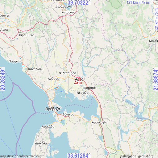
Árta GPS coordinates[2]
39° 9' 36.504" North, 20° 59' 8.196" East
| Map corner | latitude | longitude |
|---|---|---|
| Upper-left | 39.70322°, | 20.28249° |
| Center: | 39.16014°, | 20.98561° |
| Lower-right: | 38.61284°, | 21.68874° |
| Map W x H: | 121.2×121.2 km | = 75.3×75.3mi |
| max Lat: | 41.72048° ⇑51.4% North |
| Árta: | 39.16014° |
| min Lat: | ⇓48.6% South 34.8346° |
| min Long | Árta | max Long |
| 19.40494° | 20.98561° | 29.59361° |
| W 10.1%⇐ | ⇒89.9% E |
Elevation
Elevation of Árta is 52 m = 171 ft, and this is 116.9 m = 384 ft below average elevation for this country.
| Max E: |
1439 m = 4721 ft | 59.2% |
| Avg. | 168.9 m = 554 ft | |
| Árta | 52 m = 171 ft | |
Min E: |
0 m = 0 ft | 40.8% |
See also: Greece elevation on elevation.city.
Geographical zone
Árta is located in North temperate zone (between Tropic of Cancer and the Arctic Circle). Distance of this Northern Tropic circle is 1748.3 km =1086.3 mi to South.| Distance of | km | miles | from Árta |
|---|---|---|---|
| North Pole | 5652.9 | 3512.5 | to North |
| Arctic Circle | 3047 | 1893.3 | to North |
| Tropic Cancer | 1748.3 | 1086.3 | to South |
| Equator | 4354.2 | 2705.6 | to South |


Nearby cities:
15 places around Árta: (largest is in red/bold)
• Agía Paraskeví
6.8 km =4.2 mi,  176°
176°
• Akropotamiá
7.9 km =4.9 mi,  157°
157°
• Chalkiádes
4.5 km =2.8 mi,  269°
269°
• Eleoúsa
2.2 km =1.4 mi,  247°
247°
• Grammenítsa
2.8 km =1.7 mi,  348°
348°
• Kalamiá
4.7 km =2.9 mi,  277°
277°
• Kalóvatos
6.9 km =4.3 mi,  237°
237°
• Kostakioí
3.6 km =2.2 mi,  222°
222°
• Megárchi
7.7 km =4.8 mi,  109°
109°
• Pachykálamos
8.9 km =5.5 mi, 164°
• Péta
4.3 km =2.7 mi,  80°
80°
• Ráchi
9 km =5.6 mi, 235°
• Rókka
3.7 km =2.3 mi, 281°
• Selládes
9.8 km =6.1 mi,  125°
125°
• Ágioi Anárgyroi
4.2 km =2.6 mi,  123°
123°
Sources, notices
• [Note1] Compared only with cities in Greece existing in our database
• [Src1] Map data: © OpenStreetMap contributors (CC-BY-SA)
• [Src2] Other city data from geonames.org with taken over terms of usage.
• [Src3] Geographical zone / Annual Mean Temperature by Robert A. Rohde @ Wikipedia
