Giannitsá geodata
Giannitsá (Central Macedonia) is a seat of a third-order administrative division; located in Greece in Europe/Athens (GMT+3) time zone. With population of 27,817 people, there are 68 cities with bigger population in this country. Compared to other cities in Greece, 85% of cities are located further ↓South; 62.3% of cities are located further →East and 70% of cities have higher elevation than Giannitsá. Note1


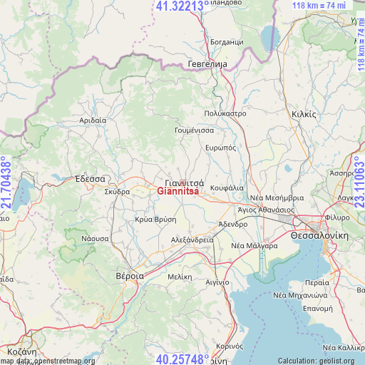
Giannitsá GPS coordinates[2]
40° 47' 30.984" North, 22° 24' 27" East
| Map corner | latitude | longitude |
|---|---|---|
| Upper-left | 41.32213°, | 21.70438° |
| Center: | 40.79194°, | 22.4075° |
| Lower-right: | 40.25748°, | 23.11063° |
| Map W x H: | 118.4×118.4 km | = 73.6×73.6mi |
| max Lat: | 41.72048° ⇑15% North |
| Giannitsá: | 40.79194° |
| min Lat: | ⇓85% South 34.8346° |
| min Long | Giannitsá | max Long |
| 19.40494° | 22.4075° | 29.59361° |
| W 37.7%⇐ | ⇒62.3% E |
Elevation
Elevation of Giannitsá is 31 m = 102 ft, and this is 137.9 m = 452 ft below average elevation for this country.
| Max E: |
1439 m = 4721 ft | 70% |
| Avg. | 168.9 m = 554 ft | |
| Giannitsá | 31 m = 102 ft | |
Min E: |
0 m = 0 ft | 30% |
See also: Greece elevation on elevation.city.
Geographical zone
Giannitsá is located in North temperate zone (between Tropic of Cancer and the Arctic Circle). Distance of this Northern Tropic circle is 1929.7 km =1199.1 mi to South.| Distance of | km | miles | from Giannitsá |
|---|---|---|---|
| North Pole | 5471.4 | 3399.8 | to North |
| Arctic Circle | 2865.5 | 1780.5 | to North |
| Tropic Cancer | 1929.7 | 1199.1 | to South |
| Equator | 4535.6 | 2818.3 | to South |


Nearby cities:
15 places around Giannitsá: (largest is in red/bold)
• Achladochóri
7.4 km =4.6 mi,  312°
312°
• Ampeleíes
5 km =3.1 mi,  340°
340°
• Aravissós
10.6 km =6.6 mi,  302°
302°
• Axós
4 km =2.5 mi,  286°
286°
• Galatádes
11.4 km =7.1 mi,  249°
249°
• Karyótissa
8.3 km =5.2 mi, 252°
• Melíssi
5 km =3.1 mi, 246°
• Néa Pélla
7.7 km =4.8 mi,  112°
112°
• Néos Mylótopos
5.3 km =3.3 mi, 303°
• Palaiós Mylótopos
7 km =4.3 mi,  280°
280°
• Palaífyto
11.3 km =7 mi,  264°
264°
• Paralímni
6 km =3.7 mi,  139°
139°
• Pentaplátano
3.2 km =2 mi,  17°
17°
• Pélla
10.6 km =6.6 mi, 108°
• Rachóna
11.3 km =7 mi,  78°
78°
Sources, notices
• [Note1] Compared only with cities in Greece existing in our database
• [Src1] Map data: © OpenStreetMap contributors (CC-BY-SA)
• [Src2] Other city data from geonames.org with taken over terms of usage.
• [Src3] Geographical zone / Annual Mean Temperature by Robert A. Rohde @ Wikipedia
