Myriófyto geodata
Myriófyto (Central Macedonia) is a populated place; located in Greece in Europe/Athens (GMT+3) time zone. With population of 677 people, there are 1451 cities with bigger population in this country. Compared to other cities in Greece, 98% of cities are located further ↓South; 50.8% of cities are located further →East and 74.2% of cities have lower elevation than Myriófyto. Note1


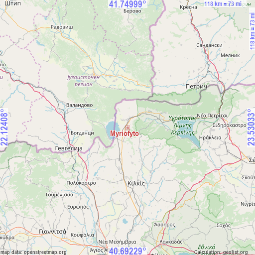
Myriófyto GPS coordinates[2]
41° 13' 23.808" North, 22° 49' 37.92" East
| Map corner | latitude | longitude |
|---|---|---|
| Upper-left | 41.74999°, | 22.12408° |
| Center: | 41.22328°, | 22.8272° |
| Lower-right: | 40.69229°, | 23.53033° |
| Map W x H: | 117.6×117.6 km | = 73.1×73.1mi |
| max Lat: | 41.72048° ⇑2% North |
| Myriófyto: | 41.22328° |
| min Lat: | ⇓98% South 34.8346° |
| min Long | Myriófyto | max Long |
| 19.40494° | 22.8272° | 29.59361° |
| W 49.2%⇐ | ⇒50.8% E |
Elevation
Elevation of Myriófyto is 202 m = 663 ft, and this is 33.1 m = 109 ft above average elevation for this country.
| Max E: |
1439 m = 4721 ft | 25.8% |
| Myriófyto | 202 m 663 ft | |
| Avg. | 168.9 m = 554 ft | |
Min E: |
0 m = 0 ft | 74.2% |
See also: Greece elevation on elevation.city.
Geographical zone
Myriófyto is located in North temperate zone (between Tropic of Cancer and the Arctic Circle). Distance of this Northern Tropic circle is 1977.7 km =1228.9 mi to South.| Distance of | km | miles | from Myriófyto |
|---|---|---|---|
| North Pole | 5423.5 | 3370 | to North |
| Arctic Circle | 2817.6 | 1750.8 | to North |
| Tropic Cancer | 1977.7 | 1228.9 | to South |
| Equator | 4583.6 | 2848.1 | to South |


Nearby cities:
15 places around Myriófyto: (largest is in red/bold)
• Chorýgio
26.7 km =16.6 mi,  198°
198°
• Chérso
15.4 km =9.6 mi,  194°
194°
• Drosáto
6.6 km =4.1 mi, 197°
• Efkarpía
18 km =11.2 mi,  157°
157°
• Kastanoússa
8.2 km =5.1 mi,  42°
42°
• Kerkíni
21.5 km =13.4 mi,  91°
91°
• Kilkís
25.9 km =16.1 mi,  171°
171°
• Kristóni
29.4 km =18.3 mi, 174°
• Livadiá
21 km =13 mi,  81°
81°
• Mouriés
4.2 km =2.6 mi,  322°
322°
• Pontoirákleia
21.7 km =13.5 mi,  232°
232°
• Rodópoli
15.1 km =9.4 mi,  73°
73°
• Stathmós Mourión
4.6 km =2.9 mi,  11°
11°
• Vafiochóri
27.4 km =17 mi,  210°
210°
• Áno Poróïa
18.8 km =11.7 mi, 68°
Sources, notices
• [Note1] Compared only with cities in Greece existing in our database
• [Src1] Map data: © OpenStreetMap contributors (CC-BY-SA)
• [Src2] Other city data from geonames.org with taken over terms of usage.
• [Src3] Geographical zone / Annual Mean Temperature by Robert A. Rohde @ Wikipedia
