Diavatós geodata
Diavatós (Central Macedonia) is a populated place; located in Greece in Europe/Athens (GMT+3) time zone. With population of 1,294 people, there are 778 cities with bigger population in this country. Compared to other cities in Greece, 75.9% of cities are located further ↓South; 65.8% of cities are located further →East and 74.1% of cities have higher elevation than Diavatós. Note1
Administrative division(s):
- Level 1: Central Macedonia
- Level 2: Nomós Imathías
- Level 3: Dimos Veroia


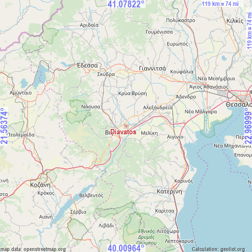
Diavatós GPS coordinates[2]
40° 32' 45.816" North, 22° 16' 0.696" East
| Map corner | latitude | longitude |
|---|---|---|
| Upper-left | 41.07822°, | 21.56374° |
| Center: | 40.54606°, | 22.26686° |
| Lower-right: | 40.00964°, | 22.96999° |
| Map W x H: | 118.8×118.8 km | = 73.8×73.8mi |
| max Lat: | 41.72048° ⇑24.1% North |
| Diavatós: | 40.54606° |
| min Lat: | ⇓75.9% South 34.8346° |
| min Long | Diavatós | max Long |
| 19.40494° | 22.26686° | 29.59361° |
| W 34.2%⇐ | ⇒65.8% E |
Elevation
Elevation of Diavatós is 25 m = 82 ft, and this is 143.9 m = 472 ft below average elevation for this country.
| Max E: |
1439 m = 4721 ft | 74.1% |
| Avg. | 168.9 m = 554 ft | |
| Diavatós | 25 m = 82 ft | |
Min E: |
0 m = 0 ft | 25.9% |
See also: Greece elevation on elevation.city.
Geographical zone
Diavatós is located in North temperate zone (between Tropic of Cancer and the Arctic Circle). Distance of this Northern Tropic circle is 1902.4 km =1182.1 mi to South.| Distance of | km | miles | from Diavatós |
|---|---|---|---|
| North Pole | 5498.8 | 3416.8 | to North |
| Arctic Circle | 2892.9 | 1797.6 | to North |
| Tropic Cancer | 1902.4 | 1182.1 | to South |
| Equator | 4508.3 | 2801.3 | to South |


Nearby cities:
15 places around Diavatós: (largest is in red/bold)
• Agía Marína
7.2 km =4.5 mi,  322°
322°
• Agía Varvára
5.9 km =3.7 mi,  198°
198°
• Kavásila
7.5 km =4.7 mi,  47°
47°
• Kefalochóri
8.7 km =5.4 mi,  73°
73°
• Kouloúra
4.3 km =2.7 mi,  89°
89°
• Makrochóri
1.6 km =1 mi,  291°
291°
• Néa Lykógianni
3.8 km =2.4 mi, 320°
• Néa Nikomídeia
4.8 km =3 mi,  342°
342°
• Palaió Skyllítsi
8.5 km =5.3 mi,  38°
38°
• Patrída
7.1 km =4.4 mi,  283°
283°
• Ráchi
8.1 km =5 mi,  212°
212°
• Stavrós
6 km =3.7 mi, 36°
• Vergína
7.9 km =4.9 mi,  147°
147°
• Véroia
6 km =3.7 mi,  246°
246°
• Xechasméni
6.6 km =4.1 mi, 67°
Sources, notices
• [Note1] Compared only with cities in Greece existing in our database
• [Src1] Map data: © OpenStreetMap contributors (CC-BY-SA)
• [Src2] Other city data from geonames.org with taken over terms of usage.
• [Src3] Geographical zone / Annual Mean Temperature by Robert A. Rohde @ Wikipedia
