Chivana geodata
Chivana (Cortés) is a populated place; located in Honduras in America/Tegucigalpa (GMT-6) time zone. With population of 1,018 people, there are 411 cities with bigger population in this country. Compared to other cities in Honduras, 93% of cities are located further ↓South; 67% of cities are located further →East and 70.2% of cities have higher elevation than Chivana. Note1


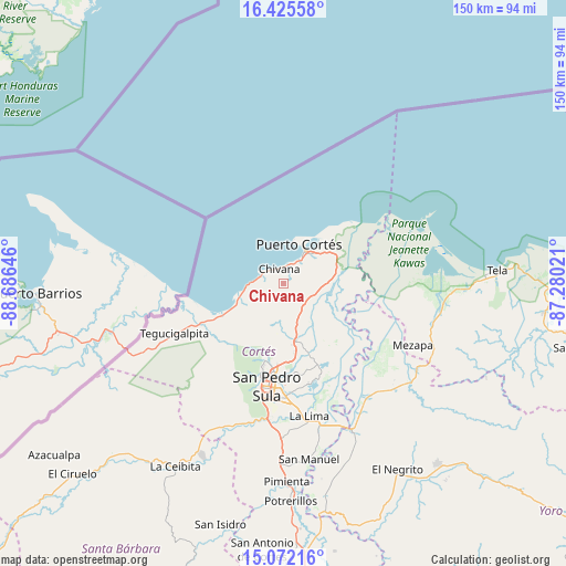
Chivana GPS coordinates[2]
15° 45' 0" North, 87° 58' 59.988" West
| Map corner | latitude | longitude |
|---|---|---|
| Upper-left | 16.42558°, | -88.68646° |
| Center: | 15.75°, | -87.98333° |
| Lower-right: | 15.07216°, | -87.28021° |
| Map W x H: | 150.5×150.5 km | = 93.5×93.5mi |
| max Lat: | 16.45° ⇑7% North |
| Chivana: | 15.75° |
| min Lat: | ⇓93% South 13.11667° |
| min Long | Chivana | max Long |
| -89.23333° | -87.98333° | -83.23333° |
| W 33%⇐ | ⇒67% E |
Elevation
Elevation of Chivana is 222 m = 728 ft, and this is 339.2 m = 1113 ft below average elevation for this country.
| Max E: |
1811 m = 5942 ft | 70.2% |
| Avg. | 561.2 m = 1841 ft | |
| Chivana | 222 m = 728 ft | |
Min E: |
1 m = 3 ft | 29.8% |
See also: Honduras elevation on elevation.city.
Geographical zone
Chivana is located in North Torrid zone (between Equator and Tropic of Cancer). Distance of this Northern Tropic circle is 854.7 km =531.1 mi to North.| Distance of | km | miles | from Chivana |
|---|---|---|---|
| North Pole | 8255.8 | 5129.9 | to North |
| Arctic Circle | 5649.9 | 3510.7 | to North |
| Tropic Cancer | 854.7 | 531.1 | to North |
| Equator | 1751.2 | 1088.1 | to South |


Nearby cities:
15 places around Chivana: (largest is in red/bold)
• Baja Mar
20.6 km =12.8 mi,  41°
41°
• Baracoa
14.4 km =8.9 mi,  82°
82°
• Choloma
15.4 km =9.6 mi,  167°
167°
• Cuyamel
25 km =15.5 mi,  248°
248°
• El Porvenir
10.7 km =6.6 mi,  30°
30°
• El Rancho
9.9 km =6.2 mi,  158°
158°
• La Huesa
21.4 km =13.3 mi,  149°
149°
• La Jutosa
13.1 km =8.1 mi,  187°
187°
• Monterrey
21.4 km =13.3 mi, 149°
• Omoa
5.7 km =3.5 mi,  289°
289°
• Puerto Alto
13.7 km =8.5 mi,  114°
114°
• Puerto Cortez
10.2 km =6.3 mi, 34°
• Quebrada Seca
9.9 km =6.2 mi, 158°
• Río Blanquito
9.1 km =5.7 mi,  101°
101°
• Travesía
15.7 km =9.8 mi, 34°
Sources, notices
• [Note1] Compared only with cities in Honduras existing in our database
• [Src1] Map data: © OpenStreetMap contributors (CC-BY-SA)
• [Src2] Other city data from geonames.org with taken over terms of usage.
• [Src3] Geographical zone / Annual Mean Temperature by Robert A. Rohde @ Wikipedia
