Vrbovec geodata
Vrbovec (Zagrebačka) is a seat of a second-order administrative division; located in Croatia in Europe/Zagreb (GMT+2) time zone. With population of 4,886 people, there are 83 cities with bigger population in this country. Compared to other cities in Croatia, 76.4% of cities are located further ↓South; 51.8% of cities are located further →East and 50.5% of cities have lower elevation than Vrbovec. Note1


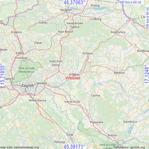
Vrbovec GPS coordinates[2]
45° 52' 59.988" North, 16° 25' 18.012" East
| Map corner | latitude | longitude |
|---|---|---|
| Upper-left | 46.37063°, | 15.71855° |
| Center: | 45.88333°, | 16.42167° |
| Lower-right: | 45.39171°, | 17.1248° |
| Map W x H: | 108.8×108.8 km | = 67.6×67.6mi |
| max Lat: | 46.52694° ⇑23.6% North |
| Vrbovec: | 45.88333° |
| min Lat: | ⇓76.4% South 42.54972° |
| min Long | Vrbovec | max Long |
| 13.52389° | 16.42167° | 19.37694° |
| W 48.2%⇐ | ⇒51.8% E |
Elevation
Elevation of Vrbovec is 128 m = 420 ft, and this is 25.3 m = 83 ft below average elevation for this country.
| Max E: |
827 m = 2713 ft | 49.5% |
| Avg. | 153.3 m = 503 ft | |
| Vrbovec | 128 m = 420 ft | |
Min E: |
-1 m = -3 ft | 50.5% |
See also: Croatia elevation on elevation.city.
Geographical zone
Vrbovec is located in North temperate zone (between Tropic of Cancer and the Arctic Circle). Distance of this North polar circle is 2299.4 km =1428.8 mi to North.| Distance of | km | miles | from Vrbovec |
|---|---|---|---|
| North Pole | 4905.3 | 3048 | to North |
| Arctic Circle | 2299.4 | 1428.8 | to North |
| Tropic Cancer | 2495.8 | 1550.8 | to South |
| Equator | 5101.7 | 3170 | to South |


Nearby cities:
15 places around Vrbovec: (largest is in red/bold)
• Brckovljani
10.9 km =6.8 mi,  239°
239°
• Brčevec
1.9 km =1.2 mi,  191°
191°
• Donja Zelina
15.1 km =9.4 mi,  281°
281°
• Dubrava
10.3 km =6.4 mi,  119°
119°
• Gornja Greda
11.1 km =6.9 mi,  224°
224°
• Gradec
5.6 km =3.5 mi,  56°
56°
• Gračec
9.8 km =6.1 mi, 235°
• Haganj
12.8 km =8 mi,  76°
76°
• Lonjica
7.8 km =4.8 mi,  246°
246°
• Lupoglav
11.3 km =7 mi,  211°
211°
• Pavlovec Gradečki
5.1 km =3.2 mi,  68°
68°
• Prikraj
10.5 km =6.5 mi,  232°
232°
• Rakovec
9.3 km =5.8 mi,  304°
304°
• Stančić
11.3 km =7 mi, 250°
• Velika Ostrna
15.2 km =9.4 mi, 225°
Sources, notices
• [Note1] Compared only with cities in Croatia existing in our database
• [Src1] Map data: © OpenStreetMap contributors (CC-BY-SA)
• [Src2] Other city data from geonames.org with taken over terms of usage.
• [Src3] Geographical zone / Annual Mean Temperature by Robert A. Rohde @ Wikipedia
