Rečica geodata
Rečica (Karlovačka) is a populated place; located in Croatia in Europe/Zagreb (GMT+2) time zone. With population of 538 people, there are 829 cities with bigger population in this country. Compared to other cities in Croatia, 54.1% of cities are located further ↓South; 80.1% of cities are located further →East and 54.4% of cities have higher elevation than Rečica. Note1


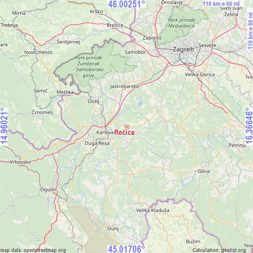
Rečica GPS coordinates[2]
45° 30' 42.984" North, 15° 39' 47.988" East
| Map corner | latitude | longitude |
|---|---|---|
| Upper-left | 46.00251°, | 14.96021° |
| Center: | 45.51194°, | 15.66333° |
| Lower-right: | 45.01706°, | 16.36646° |
| Map W x H: | 109.6×109.6 km | = 68.1×68.1mi |
| max Lat: | 46.52694° ⇑45.9% North |
| Rečica: | 45.51194° |
| min Lat: | ⇓54.1% South 42.54972° |
| min Long | Rečica | max Long |
| 13.52389° | 15.66333° | 19.37694° |
| W 19.9%⇐ | ⇒80.1% E |
Elevation
Elevation of Rečica is 118 m = 387 ft, and this is 35.3 m = 116 ft below average elevation for this country.
| Max E: |
827 m = 2713 ft | 54.4% |
| Avg. | 153.3 m = 503 ft | |
| Rečica | 118 m = 387 ft | |
Min E: |
-1 m = -3 ft | 45.6% |
See also: Croatia elevation on elevation.city.
Geographical zone
Rečica is located in North temperate zone (between Tropic of Cancer and the Arctic Circle). Distance of this North polar circle is 2340.7 km =1454.4 mi to North.| Distance of | km | miles | from Rečica |
|---|---|---|---|
| North Pole | 4946.6 | 3073.7 | to North |
| Arctic Circle | 2340.7 | 1454.4 | to North |
| Tropic Cancer | 2454.5 | 1525.2 | to South |
| Equator | 5060.5 | 3144.4 | to South |


Nearby cities:
15 places around Rečica: (largest is in red/bold)
• Barilović
16.8 km =10.4 mi,  211°
211°
• Bratina
17.6 km =10.9 mi,  46°
46°
• Cvetković
15.5 km =9.6 mi,  356°
356°
• Domagović
13.4 km =8.3 mi,  352°
352°
• Donja Kupčina
12.4 km =7.7 mi,  69°
69°
• Draganići
11 km =6.8 mi,  333°
333°
• Duga Resa
16.5 km =10.3 mi,  235°
235°
• Jastrebarsko
17.4 km =10.8 mi, 356°
• Karlovac
9.1 km =5.7 mi,  255°
255°
• Kupinec
18.9 km =11.7 mi,  30°
30°
• Lasinja
15.4 km =9.6 mi,  83°
83°
• Lasinja
16.6 km =10.3 mi,  87°
87°
• Pisarovina
17.4 km =10.8 mi,  61°
61°
• Tušilović
13.3 km =8.3 mi,  195°
195°
• Vodostaj
6.5 km =4 mi, 263°
Sources, notices
• [Note1] Compared only with cities in Croatia existing in our database
• [Src1] Map data: © OpenStreetMap contributors (CC-BY-SA)
• [Src2] Other city data from geonames.org with taken over terms of usage.
• [Src3] Geographical zone / Annual Mean Temperature by Robert A. Rohde @ Wikipedia
