Lasinja geodata
Lasinja (Karlovačka) is a populated place; located in Croatia in Europe/Zagreb (GMT+2) time zone. With population of 573 people, there are 779 cities with bigger population in this country. Compared to other cities in Croatia, 54.6% of cities are located further ↓South; 72.4% of cities are located further →East and 65.3% of cities have lower elevation than Lasinja. Note1


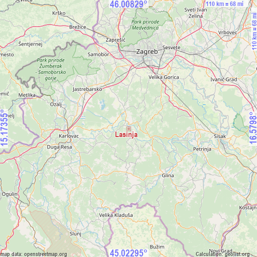
Lasinja GPS coordinates[2]
45° 31' 4.008" North, 15° 52' 36.012" East
| Map corner | latitude | longitude |
|---|---|---|
| Upper-left | 46.00829°, | 15.17355° |
| Center: | 45.51778°, | 15.87667° |
| Lower-right: | 45.02295°, | 16.5798° |
| Map W x H: | 109.6×109.6 km | = 68.1×68.1mi |
| max Lat: | 46.52694° ⇑45.4% North |
| Lasinja: | 45.51778° |
| min Lat: | ⇓54.6% South 42.54972° |
| min Long | Lasinja | max Long |
| 13.52389° | 15.87667° | 19.37694° |
| W 27.6%⇐ | ⇒72.4% E |
Elevation
Elevation of Lasinja is 155 m = 509 ft, and this is 1.7 m = 6 ft above average elevation for this country.
| Max E: |
827 m = 2713 ft | 34.7% |
| Lasinja | 155 m 509 ft | |
| Avg. | 153.3 m = 503 ft | |
Min E: |
-1 m = -3 ft | 65.3% |
See also: Croatia elevation on elevation.city.
Geographical zone
Lasinja is located in North temperate zone (between Tropic of Cancer and the Arctic Circle). Distance of this North polar circle is 2340.1 km =1454.1 mi to North.| Distance of | km | miles | from Lasinja |
|---|---|---|---|
| North Pole | 4946 | 3073.3 | to North |
| Arctic Circle | 2340.1 | 1454.1 | to North |
| Tropic Cancer | 2455.2 | 1525.6 | to South |
| Equator | 5061.1 | 3144.8 | to South |


Nearby cities:
15 places around Lasinja: (largest is in red/bold)
• Bratina
12.1 km =7.5 mi,  341°
341°
• Donja Kupčina
6.2 km =3.9 mi,  305°
305°
• Donja Zdenčina
18.6 km =11.6 mi,  332°
332°
• Gvozd
18.3 km =11.4 mi,  182°
182°
• Horvati
20.8 km =12.9 mi,  347°
347°
• Klinča Sela
21.9 km =13.6 mi, 331°
• Kravarsko
15.3 km =9.5 mi,  61°
61°
• Kupinec
17.1 km =10.6 mi, 335°
• Lasinja
1.8 km =1.1 mi, 309°
• Pisarovina
7.7 km =4.8 mi, 349°
• Pokupsko
9.7 km =6 mi,  110°
110°
• Rečica
16.6 km =10.3 mi,  267°
267°
• Strmec
21.4 km =13.3 mi,  8°
8°
• Velika Buna
19.6 km =12.2 mi,  49°
49°
• Šiljakovina
16.8 km =10.4 mi,  40°
40°
Sources, notices
• [Note1] Compared only with cities in Croatia existing in our database
• [Src1] Map data: © OpenStreetMap contributors (CC-BY-SA)
• [Src2] Other city data from geonames.org with taken over terms of usage.
• [Src3] Geographical zone / Annual Mean Temperature by Robert A. Rohde @ Wikipedia
