Lasinja geodata
Lasinja (Karlovačka) is a seat of a second-order administrative division; located in Croatia in Europe/Zagreb (GMT+2) time zone. In our database, there are 904 cities with bigger population. Compared to other cities in Croatia, 55.4% of cities are located further ↓South; 73.2% of cities are located further →East and 57.9% of cities have lower elevation than Lasinja. Note1


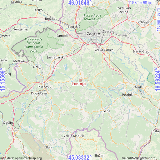
Lasinja GPS coordinates[2]
45° 31' 41.016" North, 15° 51' 32.796" East
| Map corner | latitude | longitude |
|---|---|---|
| Upper-left | 46.01848°, | 15.15599° |
| Center: | 45.52806°, | 15.85911° |
| Lower-right: | 45.03332°, | 16.56224° |
| Map W x H: | 109.5×109.5 km | = 68×68mi |
| max Lat: | 46.52694° ⇑44.6% North |
| Lasinja: | 45.52806° |
| min Lat: | ⇓55.4% South 42.54972° |
| min Long | Lasinja | max Long |
| 13.52389° | 15.85911° | 19.37694° |
| W 26.8%⇐ | ⇒73.2% E |
Elevation
Elevation of Lasinja is 140 m = 459 ft, and this is 13.3 m = 44 ft below average elevation for this country.
| Max E: |
827 m = 2713 ft | 42.1% |
| Avg. | 153.3 m = 503 ft | |
| Lasinja | 140 m = 459 ft | |
Min E: |
-1 m = -3 ft | 57.9% |
See also: Croatia elevation on elevation.city.
Geographical zone
Lasinja is located in North temperate zone (between Tropic of Cancer and the Arctic Circle). Distance of this North polar circle is 2338.9 km =1453.3 mi to North.| Distance of | km | miles | from Lasinja |
|---|---|---|---|
| North Pole | 4944.8 | 3072.6 | to North |
| Arctic Circle | 2338.9 | 1453.3 | to North |
| Tropic Cancer | 2456.3 | 1526.3 | to South |
| Equator | 5062.2 | 3145.5 | to South |


Nearby cities:
15 places around Lasinja: (largest is in red/bold)
• Bratina
10.7 km =6.6 mi,  346°
346°
• Donja Kupčina
4.4 km =2.7 mi,  304°
304°
• Donja Zdenčina
17 km =10.6 mi,  334°
334°
• Gvozd
19.5 km =12.1 mi,  178°
178°
• Horvati
19.4 km =12.1 mi, 350°
• Klinča Sela
20.2 km =12.6 mi, 333°
• Kravarsko
16.1 km =10 mi,  67°
67°
• Kupinec
15.6 km =9.7 mi,  338°
338°
• Lasinja
1.8 km =1.1 mi,  129°
129°
• Pisarovina
6.5 km =4 mi,  0°
0°
• Pokupsko
11.4 km =7.1 mi,  113°
113°
• Rečica
15.4 km =9.6 mi,  263°
263°
• Strmec
20.5 km =12.7 mi,  12°
12°
• Velika Buna
19.9 km =12.4 mi,  54°
54°
• Šiljakovina
17 km =10.6 mi, 46°
Sources, notices
• [Note1] Compared only with cities in Croatia existing in our database
• [Src1] Map data: © OpenStreetMap contributors (CC-BY-SA)
• [Src2] Other city data from geonames.org with taken over terms of usage.
• [Src3] Geographical zone / Annual Mean Temperature by Robert A. Rohde @ Wikipedia
