Szany geodata
Szany (Győr-Moson-Sopron) is a populated place; located in Hungary in Europe/Budapest (GMT+2) time zone. With population of 2,300 people, there are 671 cities with bigger population in this country. Compared to other cities in Hungary, 53.4% of cities are located further ↓South; 94.1% of cities are located further →East and 55.3% of cities have lower elevation than Szany. Note1


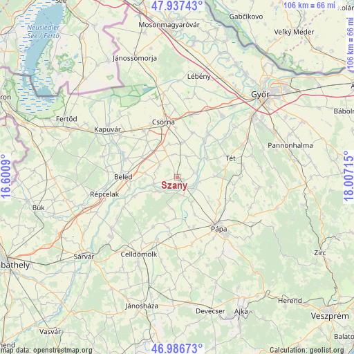
Szany GPS coordinates[2]
47° 27' 51.228" North, 17° 18' 14.472" East
| Map corner | latitude | longitude |
|---|---|---|
| Upper-left | 47.93743°, | 16.6009° |
| Center: | 47.46423°, | 17.30402° |
| Lower-right: | 46.98673°, | 18.00715° |
| Map W x H: | 105.7×105.7 km | = 65.7×65.7mi |
| max Lat: | 48.46667° ⇑46.6% North |
| Szany: | 47.46423° |
| min Lat: | ⇓53.4% South 45.79108° |
| min Long | Szany | max Long |
| 16.27358° | 17.30402° | 22.68096° |
| W 5.9%⇐ | ⇒94.1% E |
Elevation
Elevation of Szany is 121 m = 397 ft, and this is 8.7 m = 29 ft below average elevation for this country.
| Max E: |
444 m = 1457 ft | 44.7% |
| Avg. | 129.7 m = 426 ft | |
| Szany | 121 m = 397 ft | |
Min E: |
71 m = 233 ft | 55.3% |
See also: Hungary elevation on elevation.city.
Geographical zone
Szany is located in North temperate zone (between Tropic of Cancer and the Arctic Circle). Distance of this North polar circle is 2123.6 km =1319.5 mi to North.| Distance of | km | miles | from Szany |
|---|---|---|---|
| North Pole | 4729.5 | 2938.8 | to North |
| Arctic Circle | 2123.6 | 1319.5 | to North |
| Tropic Cancer | 2671.6 | 1660.1 | to South |
| Equator | 5277.5 | 3279.3 | to South |


Nearby cities:
15 places around Szany: (largest is in red/bold)
• Beled
15.9 km =9.9 mi,  270°
270°
• Bősárkány
25.2 km =15.7 mi,  350°
350°
• Csorna
16.9 km =10.5 mi, 346°
• Farád
17.6 km =10.9 mi,  333°
333°
• Győrszemere
21.8 km =13.5 mi,  63°
63°
• Kapuvár
25.1 km =15.6 mi,  304°
304°
• Kisfalud
17.5 km =10.9 mi,  293°
293°
• Kóny
18.9 km =11.7 mi,  12°
12°
• Mihályi
16.6 km =10.3 mi, 289°
• Pápa
19.3 km =12 mi,  140°
140°
• Rábacsécsény
16.3 km =10.1 mi,  33°
33°
• Rábapatona
22.9 km =14.2 mi,  35°
35°
• Rábaszentmihály
15.9 km =9.9 mi, 37°
• Répcelak
22 km =13.7 mi,  257°
257°
• Tét
16.5 km =10.3 mi,  68°
68°
Sources, notices
• [Note1] Compared only with cities in Hungary existing in our database
• [Src1] Map data: © OpenStreetMap contributors (CC-BY-SA)
• [Src2] Other city data from geonames.org with taken over terms of usage.
• [Src3] Geographical zone / Annual Mean Temperature by Robert A. Rohde @ Wikipedia
