Öttevény geodata
Öttevény (Győr-Moson-Sopron) is a populated place; located in Hungary in Europe/Budapest (GMT+2) time zone. With population of 2,725 people, there are 560 cities with bigger population in this country. Compared to other cities in Hungary, 71.8% of cities are located further ↓South; 91.5% of cities are located further →East and 54.7% of cities have higher elevation than Öttevény. Note1


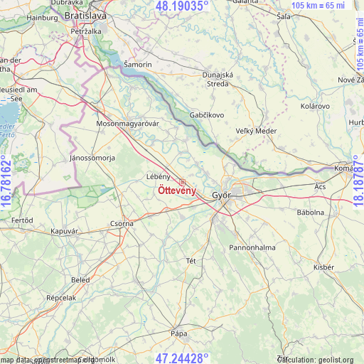
Öttevény GPS coordinates[2]
47° 43' 10.056" North, 17° 29' 5.064" East
| Map corner | latitude | longitude |
|---|---|---|
| Upper-left | 48.19035°, | 16.78162° |
| Center: | 47.71946°, | 17.48474° |
| Lower-right: | 47.24428°, | 18.18787° |
| Map W x H: | 105.2×105.2 km | = 65.4×65.4mi |
| max Lat: | 48.46667° ⇑28.2% North |
| Öttevény: | 47.71946° |
| min Lat: | ⇓71.8% South 45.79108° |
| min Long | Öttevény | max Long |
| 16.27358° | 17.48474° | 22.68096° |
| W 8.5%⇐ | ⇒91.5% E |
Elevation
Elevation of Öttevény is 113 m = 371 ft, and this is 16.7 m = 55 ft below average elevation for this country.
| Max E: |
444 m = 1457 ft | 54.7% |
| Avg. | 129.7 m = 426 ft | |
| Öttevény | 113 m = 371 ft | |
Min E: |
71 m = 233 ft | 45.3% |
See also: Hungary elevation on elevation.city.
Geographical zone
Öttevény is located in North temperate zone (between Tropic of Cancer and the Arctic Circle). Distance of this North polar circle is 2095.3 km =1302 mi to North.| Distance of | km | miles | from Öttevény |
|---|---|---|---|
| North Pole | 4701.2 | 2921.2 | to North |
| Arctic Circle | 2095.3 | 1302 | to North |
| Tropic Cancer | 2700 | 1677.7 | to South |
| Equator | 5305.9 | 3296.9 | to South |


Nearby cities:
15 places around Öttevény: (largest is in red/bold)
• Abda
5.3 km =3.3 mi,  121°
121°
• Bősárkány
17.9 km =11.1 mi,  258°
258°
• Győr
11.9 km =7.4 mi,  109°
109°
• Győrszemere
19.5 km =12.1 mi,  162°
162°
• Győrújbarát
17.6 km =10.9 mi,  135°
135°
• Kimle
14 km =8.7 mi,  320°
320°
• Kóny
13.7 km =8.5 mi,  224°
224°
• Lébény
7.3 km =4.5 mi,  284°
284°
• Mosonszentmiklós
4.4 km =2.7 mi, 282°
• Nyúl
21 km =13 mi,  133°
133°
• Rábacsécsény
15.5 km =9.6 mi,  197°
197°
• Rábapatona
9.7 km =6 mi,  182°
182°
• Rábaszentmihály
16.3 km =10.1 mi,  193°
193°
• Töltéstava
21.3 km =13.2 mi, 119°
• Ásványráró
12 km =7.5 mi,  3°
3°
Sources, notices
• [Note1] Compared only with cities in Hungary existing in our database
• [Src1] Map data: © OpenStreetMap contributors (CC-BY-SA)
• [Src2] Other city data from geonames.org with taken over terms of usage.
• [Src3] Geographical zone / Annual Mean Temperature by Robert A. Rohde @ Wikipedia
