Pandan geodata
Pandan (North Sumatra) is a seat of a second-order administrative division; located in Indonesia in Asia/Jakarta (GMT+7) time zone. In our database, there are 407 cities with bigger population. Compared to other cities in Indonesia, 96.9% of cities are located further ↓South; 98% of cities are located further →East and 97.2% of cities have higher elevation than Pandan. Note1


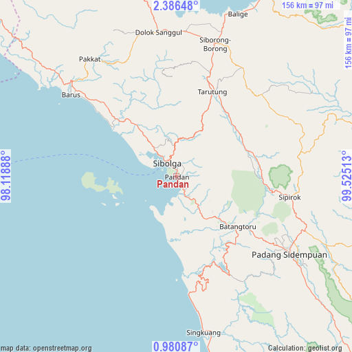
Pandan GPS coordinates[2]
1° 41' 1.68" North, 98° 49' 19.2" East
| Map corner | latitude | longitude |
|---|---|---|
| Upper-left | 2.38648°, | 98.11888° |
| Center: | 1.6838°, | 98.822° |
| Lower-right: | 0.98087°, | 99.52513° |
| Map W x H: | 156.3×156.3 km | = 97.1×97.1mi |
| max Lat: | 5.88969° ⇑3.1% North |
| Pandan: | 1.6838° |
| min Lat: | ⇓96.9% South -10.934° |
| min Long | Pandan | max Long |
| 95.1345° | 98.822° | 140.9419° |
| W 2%⇐ | ⇒98% E |
Elevation
Elevation of Pandan is 6 m = 20 ft, and this is 223.7 m = 734 ft below average elevation for this country.
| Max E: |
3185 m = 10449 ft | 97.2% |
| Avg. | 229.7 m = 754 ft | |
| Pandan | 6 m = 20 ft | |
Min E: |
-1 m = -3 ft | 2.8% |
See also: Indonesia elevation on elevation.city.
Geographical zone
Pandan is located in North Torrid zone (between Equator and Tropic of Cancer). Distance of Equator is 187.2 km =116.3 mi to South.| Distance of | km | miles | from Pandan |
|---|---|---|---|
| North Pole | 9819.8 | 6101.7 | to North |
| Arctic Circle | 7214 | 4482.6 | to North |
| Tropic Cancer | 2418.7 | 1502.9 | to North |
| Equator | 187.2 | 116.3 | to South |


Nearby cities:
15 places around Pandan: (largest is in red/bold)
• Barus
59.5 km =37 mi,  307°
307°
• Batangtoru
35.1 km =21.8 mi,  129°
129°
• Dolok Sanggul
64.4 km =40 mi,  352°
352°
• Onan Ganjang Satu
57 km =35.4 mi,  338°
338°
• Padangsidempuan
60.3 km =37.5 mi,  124°
124°
• Pakkat
64.9 km =40.3 mi,  323°
323°
• Parmonangan
47.2 km =29.3 mi, 352°
• Sampuran
39.5 km =24.5 mi,  23°
23°
• Sarulla
34.4 km =21.4 mi,  70°
70°
• Sibolga
7.7 km =4.8 mi, 324°
• Siborong-Borong
61.1 km =38 mi, 15°
• Sipagimbar
63.3 km =39.3 mi,  75°
75°
• Sipirok
51 km =31.7 mi,  100°
100°
• Sipoholon
44.6 km =27.7 mi, 18°
• Tarutung
40.1 km =24.9 mi, 23°
Sources, notices
• [Note1] Compared only with cities in Indonesia existing in our database
• [Src1] Map data: © OpenStreetMap contributors (CC-BY-SA)
• [Src2] Other city data from geonames.org with taken over terms of usage.
• [Src3] Geographical zone / Annual Mean Temperature by Robert A. Rohde @ Wikipedia
