Pengkol geodata
Pengkol (East Java) is a seat of a fourth-order administrative division; located in Indonesia in Asia/Jakarta (GMT+7) time zone. In our database, there are 407 cities with bigger population. Compared to other cities in Indonesia, 53.6% of cities are located further ↓South; 56.3% of cities are located further →East and 64.2% of cities have higher elevation than Pengkol. Note1


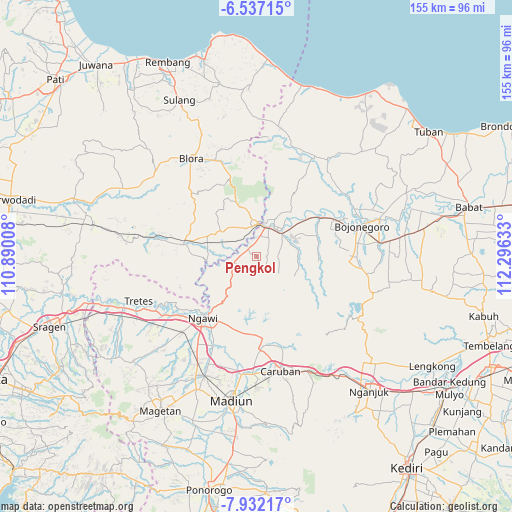
Pengkol GPS coordinates[2]
7° 14' 6.72" South, 111° 35' 35.52" East
| Map corner | latitude | longitude |
|---|---|---|
| Upper-left | -6.53715°, | 110.89008° |
| Center: | -7.2352°, | 111.5932° |
| Lower-right: | -7.93217°, | 112.29633° |
| Map W x H: | 155.1×155.1 km | = 96.4×96.4mi |
| max Lat: | 5.88969° ⇑46.4% North |
| Pengkol: | -7.2352° |
| min Lat: | ⇓53.6% South -10.934° |
| min Long | Pengkol | max Long |
| 95.1345° | 111.5932° | 140.9419° |
| W 43.7%⇐ | ⇒56.3% E |
Elevation
Elevation of Pengkol is 45 m = 148 ft, and this is 184.7 m = 606 ft below average elevation for this country.
| Max E: |
3185 m = 10449 ft | 64.2% |
| Avg. | 229.7 m = 754 ft | |
| Pengkol | 45 m = 148 ft | |
Min E: |
-1 m = -3 ft | 35.8% |
See also: Indonesia elevation on elevation.city.
Geographical zone
Pengkol is located in South Torrid zone (between Equator and Tropic of Capricorn). Distance of Equator is 804.5 km =499.9 mi to North.| Distance of | km | miles | from Pengkol |
|---|---|---|---|
| Equator | 804.5 | 499.9 | to North |
| Tropic Capricorn | 1801.4 | 1119.3 | to South |
| Antarctic Circle | 6596.7 | 4099 | to South |
| South Pole | 9202.6 | 5718.2 | to South |


Nearby cities:
15 places around Pengkol: (largest is in red/bold)
• Blimbing
5.7 km =3.5 mi,  8°
8°
• Donan
5.8 km =3.6 mi,  56°
56°
• Gempol
6.3 km =3.9 mi,  21°
21°
• Kapuan
6.5 km =4 mi,  321°
321°
• Ketawang
4.2 km =2.6 mi,  307°
307°
• Klempun
1.2 km =0.7 mi,  302°
302°
• Mersodo
6.3 km =3.9 mi,  355°
355°
• Ngeper
4.9 km =3 mi, 9°
• Ngori
5.2 km =3.2 mi,  268°
268°
• Pandan
3.3 km =2.1 mi,  261°
261°
• Prangi
5.4 km =3.4 mi,  348°
348°
• Purwa
5.6 km =3.5 mi,  284°
284°
• Sumberpitu
5.7 km =3.5 mi, 347°
• Tapelan
6.6 km =4.1 mi, 276°
• Tebon
6 km =3.7 mi,  330°
330°
Sources, notices
• [Note1] Compared only with cities in Indonesia existing in our database
• [Src1] Map data: © OpenStreetMap contributors (CC-BY-SA)
• [Src2] Other city data from geonames.org with taken over terms of usage.
• [Src3] Geographical zone / Annual Mean Temperature by Robert A. Rohde @ Wikipedia
