Suroh geodata
Suroh (East Java) is a seat of a fourth-order administrative division; located in Indonesia in Asia/Jakarta (GMT+7) time zone. In our database, there are 407 cities with bigger population. Compared to other cities in Indonesia, 58.4% of cities are located further ↓South; 55.2% of cities are located further →East and 69.5% of cities have higher elevation than Suroh. Note1


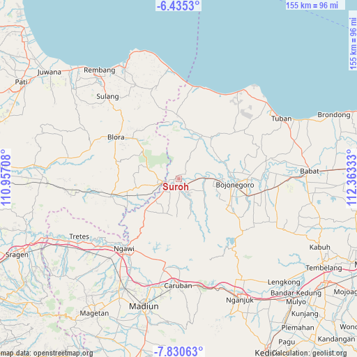
Suroh GPS coordinates[2]
7° 8' 0.6" South, 111° 39' 36.72" East
| Map corner | latitude | longitude |
|---|---|---|
| Upper-left | -6.4353°, | 110.95708° |
| Center: | -7.1335°, | 111.6602° |
| Lower-right: | -7.83063°, | 112.36333° |
| Map W x H: | 155.1×155.1 km | = 96.4×96.4mi |
| max Lat: | 5.88969° ⇑41.6% North |
| Suroh: | -7.1335° |
| min Lat: | ⇓58.4% South -10.934° |
| min Long | Suroh | max Long |
| 95.1345° | 111.6602° | 140.9419° |
| W 44.8%⇐ | ⇒55.2% E |
Elevation
Elevation of Suroh is 33 m = 108 ft, and this is 196.7 m = 645 ft below average elevation for this country.
| Max E: |
3185 m = 10449 ft | 69.5% |
| Avg. | 229.7 m = 754 ft | |
| Suroh | 33 m = 108 ft | |
Min E: |
-1 m = -3 ft | 30.5% |
See also: Indonesia elevation on elevation.city.
Geographical zone
Suroh is located in South Torrid zone (between Equator and Tropic of Capricorn). Distance of Equator is 793.2 km =492.9 mi to North.| Distance of | km | miles | from Suroh |
|---|---|---|---|
| Equator | 793.2 | 492.9 | to North |
| Tropic Capricorn | 1812.7 | 1126.4 | to South |
| Antarctic Circle | 6608 | 4106 | to South |
| South Pole | 9213.9 | 5725.3 | to South |


Nearby cities:
15 places around Suroh: (largest is in red/bold)
• Banjarjo
4.6 km =2.9 mi,  232°
232°
• Beged
4.7 km =2.9 mi,  168°
168°
• Besah
2.3 km =1.4 mi,  263°
263°
• Bulu
4 km =2.5 mi,  155°
155°
• Dukuh Lor
3.3 km =2.1 mi,  180°
180°
• Kacangan Lor
1.7 km =1.1 mi,  150°
150°
• Kembangan
3.7 km =2.3 mi,  115°
115°
• Ketawang
5.2 km =3.2 mi, 226°
• Kliteh
4.8 km =3 mi,  81°
81°
• Kuncen
5 km =3.1 mi,  238°
238°
• Purwosari
4.3 km =2.7 mi, 181°
• Sekaran
1.2 km =0.7 mi,  307°
307°
• Semanding
3 km =1.9 mi,  112°
112°
• Tambakmerak
2 km =1.2 mi,  11°
11°
• Tembeling
3.5 km =2.2 mi,  197°
197°
Sources, notices
• [Note1] Compared only with cities in Indonesia existing in our database
• [Src1] Map data: © OpenStreetMap contributors (CC-BY-SA)
• [Src2] Other city data from geonames.org with taken over terms of usage.
• [Src3] Geographical zone / Annual Mean Temperature by Robert A. Rohde @ Wikipedia
