Semanding geodata
Semanding (East Java) is a seat of a fourth-order administrative division; located in Indonesia in Asia/Jakarta (GMT+7) time zone. In our database, there are 407 cities with bigger population. Compared to other cities in Indonesia, 57.9% of cities are located further ↓South; 54.8% of cities are located further →East and 72.7% of cities have higher elevation than Semanding. Note1


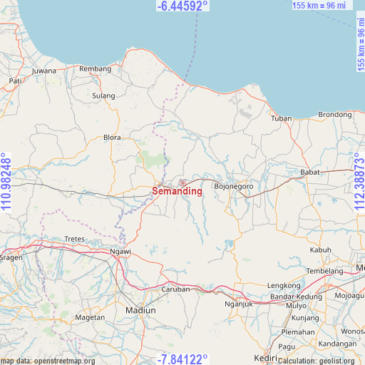
Semanding GPS coordinates[2]
7° 8' 38.76" South, 111° 41' 8.16" East
| Map corner | latitude | longitude |
|---|---|---|
| Upper-left | -6.44592°, | 110.98248° |
| Center: | -7.1441°, | 111.6856° |
| Lower-right: | -7.84122°, | 112.38873° |
| Map W x H: | 155.1×155.1 km | = 96.4×96.4mi |
| max Lat: | 5.88969° ⇑42.1% North |
| Semanding: | -7.1441° |
| min Lat: | ⇓57.9% South -10.934° |
| min Long | Semanding | max Long |
| 95.1345° | 111.6856° | 140.9419° |
| W 45.2%⇐ | ⇒54.8% E |
Elevation
Elevation of Semanding is 28 m = 92 ft, and this is 201.7 m = 662 ft below average elevation for this country.
| Max E: |
3185 m = 10449 ft | 72.7% |
| Avg. | 229.7 m = 754 ft | |
| Semanding | 28 m = 92 ft | |
Min E: |
-1 m = -3 ft | 27.3% |
See also: Indonesia elevation on elevation.city.
Geographical zone
Semanding is located in South Torrid zone (between Equator and Tropic of Capricorn). Distance of Equator is 794.3 km =493.6 mi to North.| Distance of | km | miles | from Semanding |
|---|---|---|---|
| Equator | 794.3 | 493.6 | to North |
| Tropic Capricorn | 1811.6 | 1125.7 | to South |
| Antarctic Circle | 6606.8 | 4105.3 | to South |
| South Pole | 9212.7 | 5724.5 | to South |


Nearby cities:
15 places around Semanding: (largest is in red/bold)
• Beged
3.9 km =2.4 mi,  208°
208°
• Bonorejo
4.3 km =2.7 mi,  189°
189°
• Bulu
2.7 km =1.7 mi, 205°
• Cengungklung
3.2 km =2 mi,  79°
79°
• Dukuh Lor
3.5 km =2.2 mi,  233°
233°
• Kacangan Lor
2 km =1.2 mi,  260°
260°
• Katur
4 km =2.5 mi,  113°
113°
• Kembangan
0.6 km =0.4 mi,  127°
127°
• Kliteh
2.7 km =1.7 mi,  45°
45°
• Ngujung
3.4 km =2.1 mi, 48°
• Ringintunggal
4.2 km =2.6 mi, 134°
• Sekaran
4.2 km =2.6 mi,  296°
296°
• Suroh
3 km =1.9 mi,  292°
292°
• Tambakmerak
4 km =2.5 mi,  322°
322°
• Telumbung
2.6 km =1.6 mi,  73°
73°
Sources, notices
• [Note1] Compared only with cities in Indonesia existing in our database
• [Src1] Map data: © OpenStreetMap contributors (CC-BY-SA)
• [Src2] Other city data from geonames.org with taken over terms of usage.
• [Src3] Geographical zone / Annual Mean Temperature by Robert A. Rohde @ Wikipedia
