Gayam geodata
Gayam (East Java) is a seat of a fourth-order administrative division; located in Indonesia in Asia/Jakarta (GMT+7) time zone. In our database, there are 407 cities with bigger population. Compared to other cities in Indonesia, 56.2% of cities are located further ↓South; 54.2% of cities are located further →East and 63.8% of cities have higher elevation than Gayam. Note1


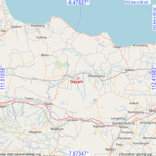
Gayam GPS coordinates[2]
7° 10' 35.04" South, 111° 42' 49.32" East
| Map corner | latitude | longitude |
|---|---|---|
| Upper-left | -6.47827°, | 111.01058° |
| Center: | -7.1764°, | 111.7137° |
| Lower-right: | -7.87347°, | 112.41683° |
| Map W x H: | 155.1×155.1 km | = 96.4×96.4mi |
| max Lat: | 5.88969° ⇑43.8% North |
| Gayam: | -7.1764° |
| min Lat: | ⇓56.2% South -10.934° |
| min Long | Gayam | max Long |
| 95.1345° | 111.7137° | 140.9419° |
| W 45.8%⇐ | ⇒54.2% E |
Elevation
Elevation of Gayam is 46 m = 151 ft, and this is 183.7 m = 603 ft below average elevation for this country.
| Max E: |
3185 m = 10449 ft | 63.8% |
| Avg. | 229.7 m = 754 ft | |
| Gayam | 46 m = 151 ft | |
Min E: |
-1 m = -3 ft | 36.2% |
See also: Indonesia elevation on elevation.city.
Geographical zone
Gayam is located in South Torrid zone (between Equator and Tropic of Capricorn). Distance of Equator is 797.9 km =495.8 mi to North.| Distance of | km | miles | from Gayam |
|---|---|---|---|
| Equator | 797.9 | 495.8 | to North |
| Tropic Capricorn | 1808 | 1123.4 | to South |
| Antarctic Circle | 6603.2 | 4103 | to South |
| South Pole | 9209.1 | 5722.3 | to South |


Nearby cities:
15 places around Gayam: (largest is in red/bold)
• Beged
4.9 km =3 mi,  272°
272°
• Bonorejo
3.9 km =2.4 mi,  259°
259°
• Bulu
4.4 km =2.7 mi,  285°
285°
• Celangap
4.6 km =2.9 mi,  17°
17°
• Cengungklung
4.2 km =2.6 mi,  0°
0°
• Dawung
3.5 km =2.2 mi,  220°
220°
• Katur
2.1 km =1.3 mi, 16°
• Kembangan
4.1 km =2.5 mi,  321°
321°
• Kliteh
5.6 km =3.5 mi,  347°
347°
• Ngrejeng
4.6 km =2.9 mi,  188°
188°
• Ringintunggal
0.7 km =0.4 mi, 348°
• Semanding
4.7 km =2.9 mi, 319°
• Telumbung
4.4 km =2.7 mi, 351°
• Tinumpuk
5 km =3.1 mi, 218°
• Tlatah
4.2 km =2.6 mi,  199°
199°
Sources, notices
• [Note1] Compared only with cities in Indonesia existing in our database
• [Src1] Map data: © OpenStreetMap contributors (CC-BY-SA)
• [Src2] Other city data from geonames.org with taken over terms of usage.
• [Src3] Geographical zone / Annual Mean Temperature by Robert A. Rohde @ Wikipedia
