Karangtengah geodata
Karangtengah (Central Java) is a seat of a fourth-order administrative division; located in Indonesia in Asia/Jakarta (GMT+7) time zone. In our database, there are 407 cities with bigger population. Compared to other cities in Indonesia, 63.2% of cities are located further ↓South; 61.5% of cities are located further →East and 55.3% of cities have higher elevation than Karangtengah. Note1


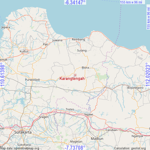
Karangtengah GPS coordinates[2]
7° 2' 23.28" South, 111° 19' 1.56" East
| Map corner | latitude | longitude |
|---|---|---|
| Upper-left | -6.34147°, | 110.61398° |
| Center: | -7.0398°, | 111.3171° |
| Lower-right: | -7.73708°, | 112.02023° |
| Map W x H: | 155.2×155.2 km | = 96.4×96.4mi |
| max Lat: | 5.88969° ⇑36.8% North |
| Karangtengah: | -7.0398° |
| min Lat: | ⇓63.2% South -10.934° |
| min Long | Karangtengah | max Long |
| 95.1345° | 111.3171° | 140.9419° |
| W 38.5%⇐ | ⇒61.5% E |
Elevation
Elevation of Karangtengah is 83 m = 272 ft, and this is 146.7 m = 481 ft below average elevation for this country.
| Max E: |
3185 m = 10449 ft | 55.3% |
| Avg. | 229.7 m = 754 ft | |
| Karangtengah | 83 m = 272 ft | |
Min E: |
-1 m = -3 ft | 44.7% |
See also: Indonesia elevation on elevation.city.
Geographical zone
Karangtengah is located in South Torrid zone (between Equator and Tropic of Capricorn). Distance of Equator is 782.8 km =486.4 mi to North.| Distance of | km | miles | from Karangtengah |
|---|---|---|---|
| Equator | 782.8 | 486.4 | to North |
| Tropic Capricorn | 1823.2 | 1132.9 | to South |
| Antarctic Circle | 6618.4 | 4112.5 | to South |
| South Pole | 9224.3 | 5731.7 | to South |


Nearby cities:
15 places around Karangtengah: (largest is in red/bold)
• Banjarejo
3 km =1.9 mi,  78°
78°
• Gapuk
2 km =1.2 mi,  66°
66°
• Gesik
2 km =1.2 mi,  111°
111°
• Gondang
3.2 km =2 mi,  3°
3°
• Karangtalun
4.4 km =2.7 mi,  60°
60°
• Kendayakan
1.7 km =1.1 mi,  209°
209°
• Ketanggi
2.7 km =1.7 mi,  357°
357°
• Ngawen
4.1 km =2.5 mi,  353°
353°
• Pecaren
4.1 km =2.5 mi,  332°
332°
• Plumbon
3.2 km =2 mi,  241°
241°
• Punggursugih
3 km =1.9 mi, 346°
• Sambirejo
2.5 km =1.6 mi,  104°
104°
• Sendanggayam
3.1 km =1.9 mi,  93°
93°
• Talok
1.8 km =1.1 mi,  310°
310°
• Trembulrejo
2.5 km =1.6 mi, 333°
Sources, notices
• [Note1] Compared only with cities in Indonesia existing in our database
• [Src1] Map data: © OpenStreetMap contributors (CC-BY-SA)
• [Src2] Other city data from geonames.org with taken over terms of usage.
• [Src3] Geographical zone / Annual Mean Temperature by Robert A. Rohde @ Wikipedia
