Rhee Beru geodata
Rhee Beru (West Nusa Tenggara) is a seat of a fourth-order administrative division; located in Indonesia in Asia/Makassar (GMT+8) time zone. In our database, there are 407 cities with bigger population. Compared to other cities in Indonesia, 80.8% of cities are located further ↑North; 78.8% of cities are located further ←West and 84.2% of cities have higher elevation than Rhee Beru. Note1


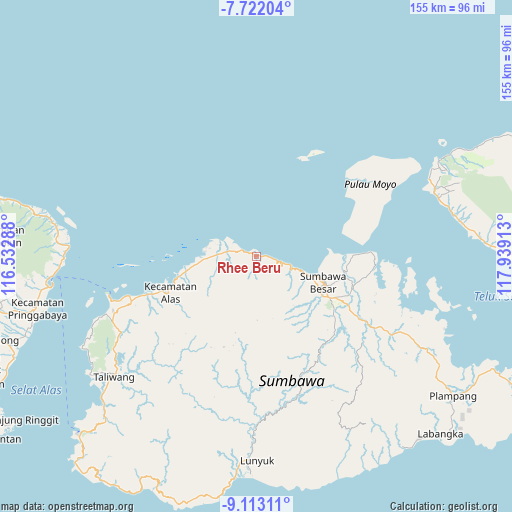
Rhee Beru GPS coordinates[2]
8° 25' 5.52" South, 117° 14' 9.6" East
| Map corner | latitude | longitude |
|---|---|---|
| Upper-left | -7.72204°, | 116.53288° |
| Center: | -8.4182°, | 117.236° |
| Lower-right: | -9.11311°, | 117.93913° |
| Map W x H: | 154.7×154.7 km | = 96.1×96.1mi |
| max Lat: | 5.88969° ⇑80.8% North |
| Rhee Beru: | -8.4182° |
| min Lat: | ⇓19.2% South -10.934° |
| min Long | Rhee Beru | max Long |
| 95.1345° | 117.236° | 140.9419° |
| W 78.8%⇐ | ⇒21.2% E |
Elevation
Elevation of Rhee Beru is 15 m = 49 ft, and this is 214.7 m = 704 ft below average elevation for this country.
| Max E: |
3185 m = 10449 ft | 84.2% |
| Avg. | 229.7 m = 754 ft | |
| Rhee Beru | 15 m = 49 ft | |
Min E: |
-1 m = -3 ft | 15.8% |
See also: Indonesia elevation on elevation.city.
Geographical zone
Rhee Beru is located in South Torrid zone (between Equator and Tropic of Capricorn). Distance of Equator is 936 km =581.6 mi to North.| Distance of | km | miles | from Rhee Beru |
|---|---|---|---|
| Equator | 936 | 581.6 | to North |
| Tropic Capricorn | 1669.9 | 1037.6 | to South |
| Antarctic Circle | 6465.2 | 4017.3 | to South |
| South Pole | 9071 | 5636.5 | to South |


Nearby cities:
15 places around Rhee Beru: (largest is in red/bold)
• Batudulang
19.4 km =12.1 mi,  165°
165°
• Jorok Dalam
11.1 km =6.9 mi,  274°
274°
• Karangdima
18.3 km =11.4 mi,  110°
110°
• Kelungkung
18.5 km =11.5 mi,  143°
143°
• Labuhanbadas
15.4 km =9.6 mi, 109°
• Labuhansumbawa
19.2 km =11.9 mi, 108°
• Lukkarya
5.9 km =3.7 mi,  101°
101°
• Motong Barat
11.5 km =7.1 mi, 271°
• Orong
11.7 km =7.3 mi, 272°
• Satowebrang
12 km =7.5 mi, 271°
• Sebedo
8.1 km =5 mi,  261°
261°
• Semongkat
19.4 km =12.1 mi,  151°
151°
• Seseng
5.5 km =3.4 mi,  186°
186°
• Tengah Satu
11.6 km =7.2 mi, 269°
• Utan
11.3 km =7 mi, 272°
Sources, notices
• [Note1] Compared only with cities in Indonesia existing in our database
• [Src1] Map data: © OpenStreetMap contributors (CC-BY-SA)
• [Src2] Other city data from geonames.org with taken over terms of usage.
• [Src3] Geographical zone / Annual Mean Temperature by Robert A. Rohde @ Wikipedia
