Kotauneng geodata
Kotauneng (East Nusa Tenggara) is a seat of a fourth-order administrative division; located in Indonesia in Asia/Makassar (GMT+8) time zone. In our database, there are 407 cities with bigger population. Compared to other cities in Indonesia, 87.3% of cities are located further ↑North; 88.6% of cities are located further ←West and 86.4% of cities have higher elevation than Kotauneng. Note1


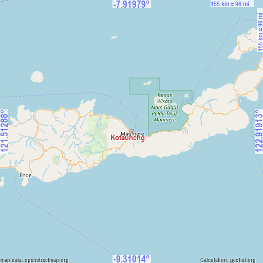
Kotauneng GPS coordinates[2]
8° 36' 56.16" South, 122° 12' 57.6" East
| Map corner | latitude | longitude |
|---|---|---|
| Upper-left | -7.91979°, | 121.51288° |
| Center: | -8.6156°, | 122.216° |
| Lower-right: | -9.31014°, | 122.91913° |
| Map W x H: | 154.6×154.6 km | = 96.1×96.1mi |
| max Lat: | 5.88969° ⇑87.3% North |
| Kotauneng: | -8.6156° |
| min Lat: | ⇓12.7% South -10.934° |
| min Long | Kotauneng | max Long |
| 95.1345° | 122.216° | 140.9419° |
| W 88.6%⇐ | ⇒11.4% E |
Elevation
Elevation of Kotauneng is 13 m = 43 ft, and this is 216.7 m = 711 ft below average elevation for this country.
| Max E: |
3185 m = 10449 ft | 86.4% |
| Avg. | 229.7 m = 754 ft | |
| Kotauneng | 13 m = 43 ft | |
Min E: |
-1 m = -3 ft | 13.6% |
See also: Indonesia elevation on elevation.city.
Geographical zone
Kotauneng is located in South Torrid zone (between Equator and Tropic of Capricorn). Distance of Equator is 958 km =595.3 mi to North.| Distance of | km | miles | from Kotauneng |
|---|---|---|---|
| Equator | 958 | 595.3 | to North |
| Tropic Capricorn | 1648 | 1024 | to South |
| Antarctic Circle | 6443.2 | 4003.6 | to South |
| South Pole | 9049.1 | 5622.8 | to South |


Nearby cities:
15 places around Kotauneng: (largest is in red/bold)
• Brai
5 km =3.1 mi,  166°
166°
• Detung
5.4 km =3.4 mi,  180°
180°
• Halat
7.6 km =4.7 mi,  187°
187°
• Higetegera
7.3 km =4.5 mi,  118°
118°
• Kabor
0.6 km =0.4 mi, 192°
• Maumere
0.7 km =0.4 mi,  228°
228°
• Nangahure
7.5 km =4.7 mi,  312°
312°
• Nangalimang
3.7 km =2.3 mi,  197°
197°
• Nele
6.8 km =4.2 mi, 181°
• Tadabliro
7.7 km =4.8 mi, 179°
• Urungpigang
3.4 km =2.1 mi,  293°
293°
• Waioti
3.3 km =2.1 mi, 121°
• Waipare
7.3 km =4.5 mi,  109°
109°
• Watuliwung
6.3 km =3.9 mi,  138°
138°
• Wolomarang
2.2 km =1.4 mi, 305°
Sources, notices
• [Note1] Compared only with cities in Indonesia existing in our database
• [Src1] Map data: © OpenStreetMap contributors (CC-BY-SA)
• [Src2] Other city data from geonames.org with taken over terms of usage.
• [Src3] Geographical zone / Annual Mean Temperature by Robert A. Rohde @ Wikipedia
