Kalembutillu geodata
Kalembutillu (East Nusa Tenggara) is a seat of a fourth-order administrative division; located in Indonesia in Asia/Makassar (GMT+8) time zone. In our database, there are 407 cities with bigger population. Compared to other cities in Indonesia, 93.4% of cities are located further ↑North; 81.2% of cities are located further ←West and 89.8% of cities have lower elevation than Kalembutillu. Note1


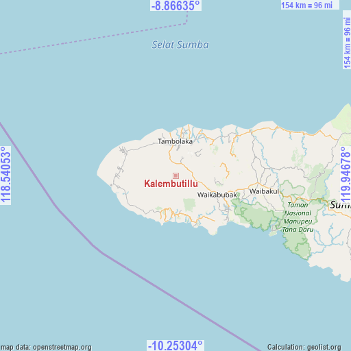
Kalembutillu GPS coordinates[2]
9° 33' 37.44" South, 119° 14' 37.14" East
| Map corner | latitude | longitude |
|---|---|---|
| Upper-left | -8.86635°, | 118.54053° |
| Center: | -9.5604°, | 119.24365° |
| Lower-right: | -10.25304°, | 119.94678° |
| Map W x H: | 154.2×154.2 km | = 95.8×95.8mi |
| max Lat: | 5.88969° ⇑93.4% North |
| Kalembutillu: | -9.5604° |
| min Lat: | ⇓6.6% South -10.934° |
| min Long | Kalembutillu | max Long |
| 95.1345° | 119.24365° | 140.9419° |
| W 81.2%⇐ | ⇒18.8% E |
Elevation
Elevation of Kalembutillu is 634 m = 2080 ft, and this is 404.3 m = 1326 ft above average elevation for this country.
| Max E: |
3185 m = 10449 ft | 10.2% |
| Kalembutillu | 634 m 2080 ft | |
| Avg. | 229.7 m = 754 ft | |
Min E: |
-1 m = -3 ft | 89.8% |
See also: Indonesia elevation on elevation.city.
Geographical zone
Kalembutillu is located in South Torrid zone (between Equator and Tropic of Capricorn). Distance of Equator is 1063 km =660.5 mi to North.| Distance of | km | miles | from Kalembutillu |
|---|---|---|---|
| Equator | 1063 | 660.5 | to North |
| Tropic Capricorn | 1542.9 | 958.7 | to South |
| Antarctic Circle | 6338.2 | 3938.4 | to South |
| South Pole | 8944 | 5557.5 | to South |


Nearby cities:
15 places around Kalembutillu: (largest is in red/bold)
• Andelara
7.7 km =4.8 mi,  75°
75°
• Delo
5.1 km =3.2 mi,  221°
221°
• Elopada
8.1 km =5 mi,  96°
96°
• Malulla
7.4 km =4.6 mi,  174°
174°
• Manola
4.6 km =2.9 mi,  265°
265°
• Maredakalada
9.3 km =5.8 mi,  115°
115°
• Marokota
9.9 km =6.2 mi,  311°
311°
• Ombakamia
7.8 km =4.8 mi,  57°
57°
• Ombarade
6.4 km =4 mi,  92°
92°
• Pasonobenu
8.1 km =5 mi,  278°
278°
• Waimangura
5.7 km =3.5 mi,  353°
353°
• Watulabara
4.3 km =2.7 mi,  37°
37°
• Weekaka
2.6 km =1.6 mi,  255°
255°
• Weelimbu
10.3 km =6.4 mi, 91°
• Weerame
5.2 km =3.2 mi,  66°
66°
Sources, notices
• [Note1] Compared only with cities in Indonesia existing in our database
• [Src1] Map data: © OpenStreetMap contributors (CC-BY-SA)
• [Src2] Other city data from geonames.org with taken over terms of usage.
• [Src3] Geographical zone / Annual Mean Temperature by Robert A. Rohde @ Wikipedia
