Weerame geodata
Weerame (East Nusa Tenggara) is a seat of a fourth-order administrative division; located in Indonesia in Asia/Makassar (GMT+8) time zone. In our database, there are 407 cities with bigger population. Compared to other cities in Indonesia, 93.3% of cities are located further ↑North; 81.3% of cities are located further ←West and 83.8% of cities have lower elevation than Weerame. Note1


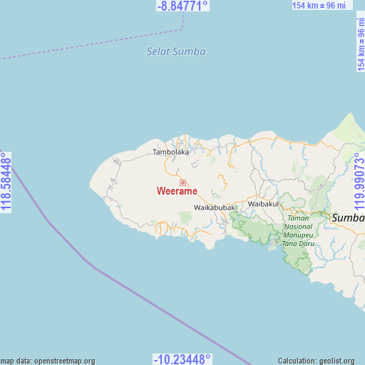
Weerame GPS coordinates[2]
9° 32' 30.48" South, 119° 17' 15.36" East
| Map corner | latitude | longitude |
|---|---|---|
| Upper-left | -8.84771°, | 118.58448° |
| Center: | -9.5418°, | 119.2876° |
| Lower-right: | -10.23448°, | 119.99073° |
| Map W x H: | 154.2×154.2 km | = 95.8×95.8mi |
| max Lat: | 5.88969° ⇑93.3% North |
| Weerame: | -9.5418° |
| min Lat: | ⇓6.7% South -10.934° |
| min Long | Weerame | max Long |
| 95.1345° | 119.2876° | 140.9419° |
| W 81.3%⇐ | ⇒18.7% E |
Elevation
Elevation of Weerame is 496 m = 1627 ft, and this is 266.3 m = 874 ft above average elevation for this country.
| Max E: |
3185 m = 10449 ft | 16.2% |
| Weerame | 496 m 1627 ft | |
| Avg. | 229.7 m = 754 ft | |
Min E: |
-1 m = -3 ft | 83.8% |
See also: Indonesia elevation on elevation.city.
Geographical zone
Weerame is located in South Torrid zone (between Equator and Tropic of Capricorn). Distance of Equator is 1060.9 km =659.2 mi to North.| Distance of | km | miles | from Weerame |
|---|---|---|---|
| Equator | 1060.9 | 659.2 | to North |
| Tropic Capricorn | 1545 | 960 | to South |
| Antarctic Circle | 6340.2 | 3939.6 | to South |
| South Pole | 8946.1 | 5558.8 | to South |


Nearby cities:
15 places around Weerame: (largest is in red/bold)
• Andekantor
9.8 km =6.1 mi,  117°
117°
• Andelara
2.6 km =1.6 mi,  93°
93°
• Elopada
4.4 km =2.7 mi,  132°
132°
• Kalembutillu
5.2 km =3.2 mi,  246°
246°
• Manola
9.8 km =6.1 mi,  255°
255°
• Maredakalada
7.1 km =4.4 mi,  149°
149°
• Ombakamia
2.8 km =1.7 mi,  39°
39°
• Ombarade
2.8 km =1.7 mi, 145°
• Palla
7.6 km =4.7 mi,  77°
77°
• Totok
6.9 km =4.3 mi,  17°
17°
• Waimangura
6.5 km =4 mi,  303°
303°
• Watulabara
2.6 km =1.6 mi, 301°
• Weegaingo
7.2 km =4.5 mi, 77°
• Weekaka
7.8 km =4.8 mi, 249°
• Weelimbu
5.9 km =3.7 mi,  112°
112°
Sources, notices
• [Note1] Compared only with cities in Indonesia existing in our database
• [Src1] Map data: © OpenStreetMap contributors (CC-BY-SA)
• [Src2] Other city data from geonames.org with taken over terms of usage.
• [Src3] Geographical zone / Annual Mean Temperature by Robert A. Rohde @ Wikipedia
